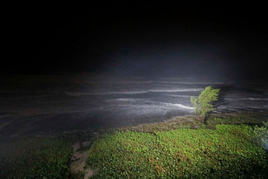
Nicole will rip through the Florida Peninsula on Thursday, then turn northward and move across the interior of the southern United States from Thursday night to Friday as a tropical depression before intensifying into a powerful wind and downpour, according to AccuWeather meteorologists.

Nicole Powering Through
Nicole's impact will probably have a wide spectrum of effects. While the storm will provide much-needed rain to places suffering from drought, it will also bring dangerous weather, including flooding and destructive tornadoes.
Before moving over northern Florida and Georgia Thursday night, Nicole is predicted to hit the Gulf of Mexico Thursday evening briefly.
In advance of the storm's center, heavy rain and high wind gusts will move north from Thursday into Friday. From central and eastern Georgia through the western and central Carolinas, eastern Tennessee, southwestern Virginia, and southeastern Kentucky, a wide swath of rainfall between 2 and 4 inches will fall.
Most of the rain will fall between six and twelve hours, and in certain situations, it may even happen in six hours or less. Forecasters warn this could result in rainfall rates of 1-2 inches per hour, which could cause minor streams to rise quickly and overflow their banks. The Appalachians have the highest risk of small stream flooding, where pockets of 4 to 8 inches of rain can fall, but some areas could get up to 15 inches.
Urban flooding is a given, particularly when leaves cause clogged storm drains. In places like Atlanta, Charlotte, and Greenville, South Carolina, experts advise drivers to leave additional time for travel on the roads and during morning and evening commutes in case of substantial delays.
A sufficient amount of energy will be present on Nicole's eastern side in the warm, humid air region to develop violent thunderstorms. From northern Florida to southern Georgia and the central and eastern parts of the Carolinas, these storms can produce strong wind gusts, a few tornadoes, and waterspouts on Thursday night into Friday.
After dusk, several powerful storms may develop, increasing the risk.
To have enough time to take shelter, forecasters advise individuals to be informed about the changing weather conditions and access audible alarm alerts while they sleep.
Read also: Global Weirding: Humans Have Drastically Altered the Climate to the Point of Bringing Chaos
Silver Lining
Positively, Nicole's rain will largely move out of the Southeast by this weekend, allowing outdoor activities like storm cleaning and sporting events to go on as planned. However, some routes may stay blocked for some time after the storm due to downed trees, washouts, or ongoing high water.
Given that runoff from Nicole's rainfall would increase reservoir and lake levels, it is feasible that the rain from Nicole may also significantly end the drought that has persisted over the region. As stated by the U.S. According to the Drought Monitor, Southeast drought conditions vary from unusually dry to severe.
Nicole's Trajectory
From Friday through Saturday, Nicole will continue to speed across the heartland of the Northeast, having a similar effect there.
Related Article : Exposure to Major Disasters Can Cause Long-Term Mental Health Problems
For more climate and weather updates, don't forget to follow Nature World News!
© 2025 NatureWorldNews.com All rights reserved. Do not reproduce without permission.

