South US tornado threat is increasing due to a severe storm blanketing the region and this is also being influenced by a weather system in the Western US covered by heavy snow, according to meteorologists.
US Weather authorities stated two major storm systems will impact different areas of the country on Friday, November 4; wherein various weather hazards are possible to cause damage.
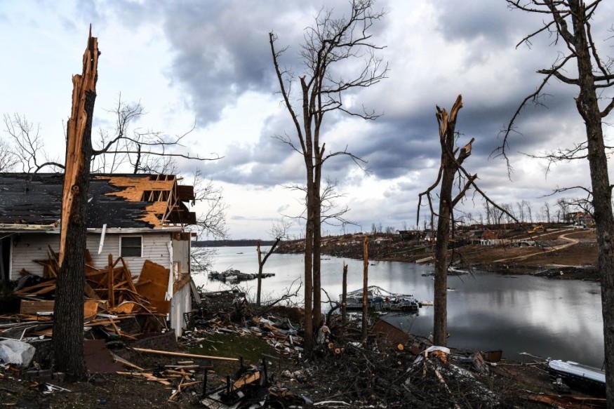
The US weather forecast means the greatest risk in the southern states could be the sporadic formation of twisters both in remote and populated areas.
Based on previous tornado outbreak reports, the whirling vortex of air can cause extensive damage to infrastructure and properties, as well as lead to disruption of flights and public transport.
Power outages are also possible over downed power lines from strong winds.
South US Tornado Threat

CNN meteorologists highlighted the "clash of two seasons" could see the meeting between early winter explosion and record autumn warm weather in the coming days, resulting in a dynamic storm system with heavy mountain snow in the West and severe weather in the South.
The US media outlet cites a statement from the National Weather Service (NWS) - Weather Prediction Center (WPC), stating the end of the workweek could see active weather activities due to a "highly amplified upper-level trough" moves eastward and causes a multitude of weather hazards for areas located west of the Mississippi River.
In particular, the NWS - WPC weather outlook suggested one of the storms will life through the Great Plains and severe thunderstorms with tornadoes and damaging winds could hit parts from Oklahoma and Texas and to Arkansas and Louisiana.
In the Pacific Northwest, the NWS said an anomalous plume of Pacific moisture caused by the atmospheric river will cause wet weather in the region with possible flooding, high winds, and mountain snow.
The atmospheric river is also expected to bring heavy rain and wind to the south coast of British Columbia, Canada, according to CBC Canada.
US Winter Outlook
The current US fall season is already in its last month. However, US meteorologists have already reported winterlike weather conditions in some parts of the North American nation recently, including the Pacific Northwest and the rest of the American West.
There is also a catch that the upcoming winter season will see relative warm weather and dry conditions.
According to Fox 5 Washington DC, there will be no major blizzards but only above-average snowfall is possible when the winter comes, and this forecast is based on the expected "one to three winter storm events" since the risk of a significant blizzard remains very low.
Although this is the case, the US news agency said a fading La Nina should cause increased snow risks for the second half of the season.
Prior to winter, portions of the country could still experience a combination of heavy rain and heavy snow due to the atmospheric river weather system in the West, as well as tornadoes due to severe thunderstorms.
Related Article: Another Severe Tornado Will Come to Southern US This Week
© 2025 NatureWorldNews.com All rights reserved. Do not reproduce without permission.

