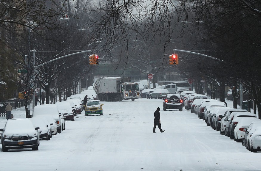
Severe storms have been forecasted to strike the Northeast United States ahead of a looming cold front by the end of the week, according to US meteorologists.
The adverse weather will hit some of the major metropolitan areas across the East Coast, including those from Washington, D.C., Philadelphia, and to New York City, where urban flash flooding could occur.
Northeast Severe Storms

The severe weather threat will shift from the Midwest and into the east starting Thursday, October 13.
The severe thunderstorms will transpire as a cold front progress through the Northeast US, which is at risk of experiencing a new round of widespread disruption.
AccuWeather meteorologists said the severe weather could bring the following weather hazards:
- intense downpours
- urban flooding
- isolated tornadoes
- travel delays
- damaging wind gusts
- poor visibility
Furthermore, strong winds and isolated tornadoes could also knock down power lines and cause sporadic power outages.
What is a Cold Front?
When a weather front passes over an area it can lead to a change in the weather.
A number of fronts, including warm front or cold front, lead to a variety of weather events like heavy rain, gusty winds, thunderstorms, and tornadoes, according to the Center for Science Education of the University Corporation for Atmospheric Research (UCAR).
During a cold front, the occurrence of thunderstorms is possible, while a warm front could see a low stratus clouds.
Normally, the skies clear up once these fronts has passed.
Being part of a weather front, a transition zone between two distinct air masses on the Earth's surface, both cold and warm fronts are similar weather phenomenon with a mixture of different ingredients.
Each air masses, cold air and warm air, have unique temperature and humidity characteristics.
In most instances, there is a turbulence ongoing in a front, which serve as the borderline where the two different air masses collide with each other.
The turbulence alone can cause clouds and storms, UCAR added.
US Cold Fronts
In short, a cold front occurs when a cold air mass pushes into an area or larger region, replacing the existing warmer air mass.
In the US, cold fronts can occur at any time of the year, especially during the winter season from December to February, as well as during its onset and aftermath.
This year, cold fronts have been reported across the US, mainly in the Pacific Northwest and Northeast.
In most cases, cold air masses from Canada moves southward into the North American nation, causing localized weather disruption that result cooler temperatures with instances of rainfall.
In relation to the latest AccuWeather cold front forecast, the National Weather Service (NWS) said that wind, snow, and sub-freezing temperatures due to the "strong cold front" are on the way from Thursday to Friday, October 14.
This could likely extend until Saturday, October 15, the US weather agency said.
The NWS said temperatures could go down on Thursday night.
In addition, all areas between eastern Utah and western Colorado are expected to experience the freezing temperatures by Friday morning and Saturday morning.
© 2025 NatureWorldNews.com All rights reserved. Do not reproduce without permission.


