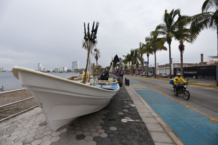
Hurricane Orlene weakened into a tropical depression over Mexico earlier this week, after hovering over the East Pacific Ocean over the weekend.
Tropical Depression Orlene caused substantial disruption due to its heavy rainfall and strong winds in the Central American country.
Remnants of Orlene

Hurricane Orlene weakened into a low pressure area located at 105 miles (170 kilometers) east-northeast of Mazatlan, Mexico, with a maximum sustained winds of 25 miles per hour (35 kilometers per hour) as of 10:00 p.m. CDT (local time) on Monday, October 3, according to the National Hurricane Center (NHC).
In spite of the Category 4 hurricane's dissipation, heavy rain threat could still continue overnight.
During its latest update, the NHC says there are no longer any watches and warnings concerning the storm.
In addition, the remnants of Orlene were moving toward a northeastward direction with a speed of 6 miles per hour (9 kilometers per hour).
Contrary to initial forecast, the remnant storm will no longer impact Southwest United States since it only struck a portion of Western Mexico.
As a result, the US hurricane agency is still expecting that Orlene will produce an additional one or two inches of rain across portions of Western Mexico until Tuesday, October 4, bringing storm total amounts to 10 inches locally.
This inclement weather could still cause flash flooding and potential landslides in areas with rugged terrain.
The forecast is based on the agency's "remnants of Orlene pubic advisory" made in its office in Miami, Florida.
Similar to previous forecasts, these advisories could be changed or updated at any time.
Tropical Depression Orlene
Tropical Depression Orlene hit southwestern Mexico as a Category 1 around 7:45 a.m. local time on Monday, according to the NHC, as cited by CNN.
The storm reportedly brought torrential rain, severe flooding, and caused mudslides in popular resort areas along the country's west coast.
This comes before the storm moved further inland over western and central part of Mexico on Monday evening.
During its landfall on Mexico's Pacific coast near the tourist town of Mazatlan, former Hurricane Orlene caused electrical cables swaying and produced showers of sparks in the town of El Rosario, located 40 miles (65 kilometers) south of Mazatlan.
Hurricane Measures
Local authorities did not immediately disclosed any damage but they closed seaports, suspended classes, and established shelters along the coast, according to the Associated Press.
The US media agency said the storm lost some of its original strength after hovering over the Islas Maria, known as a former prison colony being developed to become a tourist attraction.
The main island is reportedly populous, mostly consisting of government employees, and most buildings there are made of brick of concrete.
During its path of destruction, Orlene forced Jalisco state authorities to suspend classes in town and cities along the coast on Monday.
In Sinaloa state, several emergency shelters were opened.
Aside from flood risks, the storm still threatens to bring coastal flooding and dangerous surf.
Mexico's National Water Commission stated Orlene could cause riverine flooding, including from rising river and stream levels, flooding in low-lying areas, and landslides, the Associated Press reports.
© 2025 NatureWorldNews.com All rights reserved. Do not reproduce without permission.

