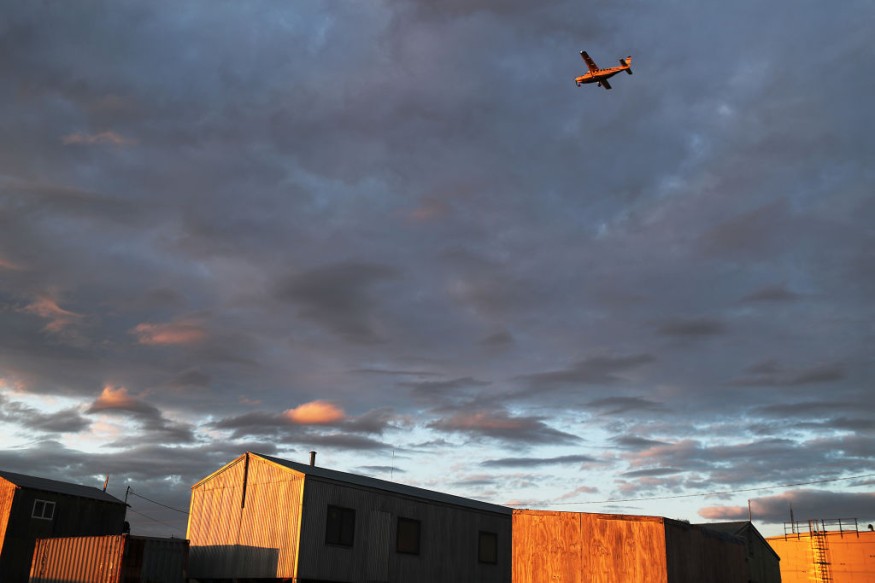
Alaska is bracing for a powerful and historic storm this weekend as remnants of Typhoon Merbok violently struck the US state through the Bering Sea.
Previous forecasts from the National Weather Service (NWS) indicates that the remnant storm will bring high winds and intense flooding due to heavy rainfall.
Communities along the coastline of Alaska are also at risk of coastal flooding or coastal erosion.
The NWS reports that Merbok remnants continue to generate a potentially historic and prolonged storm surge and damaging high winds across the southwestern and western parts of Alaska as of Saturday, September 17.
The powerful winds push waves into the shore which causes the storm surge, which is expected to overwhelm structures along the coast.
Evacuations are possible in the coming hours.
US meteorologists also warned Alaskans that the storm could also lead to high waves and power outages.
This comes as forecast of hurricane-force winds were reported over the Bering Sea.
The forecast means that even if the system is not a hurricane, it still has an equivalent wind strength to the strongest storm in the world.
Floodwaters due to riverine flooding and snowpack melt is also possible.
The NWS considers the looming weather phenomenon as strongest storm since the so-called "November 2011 Sea Cyclone" or the "Bering Sea Superstorm" of 2011, which was classified as the most powerful to have impacted Alaska in recorded history.
The fragments of Merbok came from the Pacific Ocean and was forecasted multiple times to go in a northward pattern affecting not only Alaska but also California.
Former Typhoon Merbok

The remnants of Typhoon Merbok is already causing an ongoing catastrophe in Alaska in recent hours as of Saturday afternoon.
Based on the latest NWS forecast on Saturday, coastal flooding due to storm surge is the greatest risk that Alaska faces.
Alaskan communities such as Elim and Koyuk could experience a rise in water levels by up to 18 feet above the average high tide line.
Alaska Flood Warnings
The NWS issued flood warnings for the northwestern parts of the state until Monday, September 19.
In its office in Fairbanks, the NWS reportedly said water levels almost covered the old Golovin track and was still anticipated to rise further.
Furthermore, the storm also inundated the western town of Golovin, including its old airport runway, late on Friday, September 16.
Images from the NWS showed that the community was completely under water and there were already recorded power outages by Saturday morning.
The weather event also caused infrastructural damage, including a church, a trading post, and multiple airports such as the Kotlik Airport and Nome Airport, AccuWeather reported.
According to a tweet by the NWS Alaska Region, the storm is very large it will take about three hours before the sun fully set on it.
This storm is so big it will take about 3 hours for the sun to fully set on it. pic.twitter.com/uZCZ3Lxu0j
— NWS Alaska Region (@NWSAlaska) September 17, 2022
Typhoon Merbok formed over the northwestern Pacific Ocean on the second week of September, causing high winds and powerful rainstorm before causing flood to western Alaska.
© 2025 NatureWorldNews.com All rights reserved. Do not reproduce without permission.


