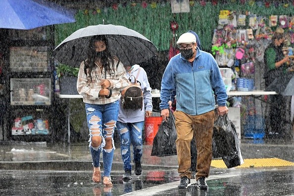
Hurricane Kay will unleash heavy rainfalls in Southern California, causing a surge of moisture, flash floods, and small flooding, according to the National Weather Service Weather Prediction Center (WPC) forecast. The weather is expected to lighten up on Monday.
The same report showed that Hurricane Kay will likely bring around six inches of rainfall and increase rains in Southern California and Arizona over the weekend.
The worst part of the storm is from Friday to Saturday and will gradually weaken on Sunday.
Moreover, WPC reported a moderate risk (level 3/4) of excessive rainfall for Friday in portions of Southern California and southwest Arizona. On Saturday, it will be graduated as a larger Slight Risk (2/4) for Southern California, western Arizona and far southern Nevada.
The AccuWeather RealImpactTM Scale for Hurricanes ranked Hurricane Kay number 2 in Mexico for potential flooding rainfall. In contrast, Kay is number 1 in the United States due to the risks of flash floods. However, Mexico would mostly feel the brunt of Hurricane Kay.
Flood and Wind Watch

Whether Kay becomes a hurricane in Southern California, it will make landfall as a tropical storm. Kay was about 200 miles (320 km) west of Baja, California.
A report from a local news agency, CBS Los Angeles, the National Weather Service issued a Flood Watch. Residents in San Bernardino County Mountains, Riverside County Mountains, San Gorgonio Pass, Apple, Coachella Valleys, and Lucerne must be vigilant for potential flooding as Hurricane Kay starts to devastate on Friday to Saturday evening.
On the other hand, a high wind watch is declared in areas: Riverside, Ontario, San Bernardino, Moreno Valley, Corona, Fontana, Rancho, and Cucamonga.
Fire danger

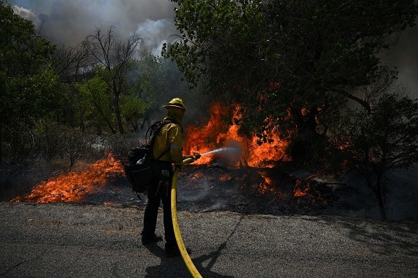
Aside from the heavy rain threat, California may experience gusty winds on Friday across southern California. The Weather Prediction Center warned that before the Hurricane's landfall, the possible high winds could increase fire danger in the areas.
Residents living near wildfire-prone areas are advised to listen to local forecasts for fire danger warnings.
Authorities are monitoring for any possible fire threat.
Heat Wave
Despite efforts to conserve energy, the record-breaking heat wave demands more electrical consumption. It brings state officials to grapple with sufficient electric power. Hurricane Kay can ease the heat and help the drought in some portions of Southern California.
California Gov. Gavin Newsom tweeted that the state is at risk of outages as the country experiences the hottest and longest heat record in September.
Prepare for Hurricane Kay
Being prepared is important, especially during a typhoon. Charge your mobile phones and keep a power bank at your disposal. Save important contacts of the nearest authorities to report emergencies in your areas.
Next, be updated on recent news about Hurricane Kay. Listen to your local weather reports. If mobile connections are affected, then radio will do.
Moreover, keep an emergency food pack that includes water and canned goods.
Most importantly, stay at your house unless advised to evacuate. If the trip is unimportant and you are in the epicenter of a hurricane, better cancel it for the next day.
Did this article help you? Share this on your social media.
For more similar, don't forget to follow Nature World News
© 2025 NatureWorldNews.com All rights reserved. Do not reproduce without permission.


