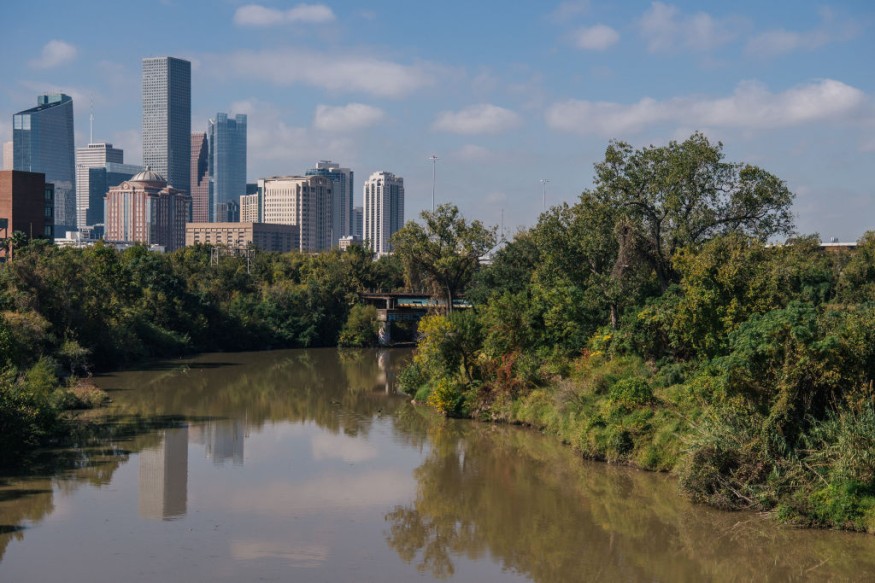
Flash flooding could occur again in some parts of Texas in the coming hours and days, according to the National Weather Service (NWS). The potential renewed flooding could be triggered by heavy rain. The looming inclement weather could threaten low-lying areas across the state, affecting both residential and commercial establishments as seen in previous weather-related events across the United States recently.
The NWS explains an upper-level disturbance combined with a tropical moisture will support the widespread rain showers and storms across the region. This will reportedly result in localized heavy rainfall in western and northeast Texas on Thursday and Friday, September 1 and September 2. The adverse weather system could also spread along the Texas Gulf Coast until Saturday, September 3.
Potential Renewed Flooding

The NWS' Weather Prediction Center (WPC) on Thursday issued the short-range forecast, which is valid until Saturday. However, the weather outlook could still change depending on the weather conditions in the next 12 to 24 hours.
In the forecast, the WPC says there is a slight to moderate risk for the accumulation of floodwaters in the state; where a front will move toward the Deep South by Friday, which will also affect states along the Southeast and Gulf Coast.
North Texas Flash Flood
The NWS weather forecast comes over a week after massive flooding devastated North Texas, particularly the Dallas-Fort Worth area. In Dallas, the torrential rain and floodwaters in inundated a number of neighborhoods and roads, prompting dozens of rescues, according to CNBC.
The catastrophic event prompted Texas Governor Greg Abbott issued a disaster declaration for 23 counties, highlighting the situation in Dallas has been the second worst rainstorm and flooding event in recorded history.
Local authorities confirm the floodwaters killed at least one person when it swept away a vehicle in east Dallas. In addition, over 100 homes were damaged and forced sanitary sewers to overflow when Dallas residents woke up in the morning of August 22.
The previous flash flooding in the Lone Star State was caused by thunderstorms due to a cold front and moisture from dissipating tropical systems, FOX 7 Austin reports. The local media outlet adds that the amount of moisture available for the storms to use was almost twice as much what Austin normally experiences.
North American Monsoon
These weather events transpired amid a so-called Southwest monsoon in North America, which temporarily brought relief to the drought-stricken region.
According to the National Oceanic and Atmospheric Administration (NOAA), the North American monsoon that affects the southwestern US or northwestern Mexico is a seasonal change within the atmospheric circulation.
This happens as the summer sun heats the continental land mass. The buildup of the summer heat over North America forms a region of high pressure above the US Southwest and makes the wind to be more southerly.
This change of air pressure and wind pattern brings moisture from the Pacific Ocean and from the Gulf of California, as the NOAA adds.
© 2025 NatureWorldNews.com All rights reserved. Do not reproduce without permission.


