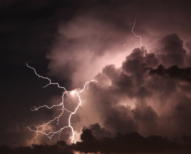
On the first day of August, hailstorms, destructive wind gusts, and torrential downpours tore across parts of the Midwest. AccuWeather meteorologists predict that this weather pattern will continue through at least midweek.

Thunderstorms Incoming
On Monday morning, a line of thunderstorms plowed over central Indiana. Strong gusts from the storms brought down trees, cut power lines, and even damaged some buildings in the Indianapolis region. By the afternoon, severe thunderstorms had formed in southeast Illinois, producing huge hail, wind damage, and reports of flash floods. Additional storms this week might bring about any of these dangers.
According to forecasters, the risk of severe weather will increase in eastern Minnesota and northern Wisconsin between late Tuesday afternoon and early Tuesday evening.
According to AccuWeather Meteorologist Andrew Kienzle, a variety of extreme weather conditions, such as hail, destructive wind gusts, torrential rain, and isolated tornadoes, will be likely.
Before heading east-southeast towards northern Minnesota, some storms could begin to develop in some regions of Canada. While the extent of the storms' southern reach is still uncertain, parts of eastern Minnesota, northwestern Wisconsin, and the Upper Peninsula of Michigan will all be at risk. This will apply to towns like Marquette, Michigan; Minneapolis, Minnesota; Duluth, Minnesota; etc.
Also Read : Atlantic Hurricane Season to Peak this Month
Risk Awareness
There will be an additional risk since the storms might last long into the night. If a warning is issued, residents will want to have mobile phone notifications set up or another method of being awakened overnight.
People must be able to get the most recent local weather information, according to Kienzle.
If a road is flooded, everyone driving should find an alternative path. According to experts, it is never advisable to drive through a flooded street, particularly at night when it is much harder to judge the water level.
Before Wednesday's dawn, the storms may reach as far south and east as Lower Michigan, although they ought to be waning by then. Even if the storms dissipated, the possibility of severe weather will still exist.
According to Kienzle, the extreme risk will move to the south and east on Wednesday, affecting parts of Missouri, Iowa, Wisconsin, Illinois, Indiana, Michigan, Ohio, and Ontario.
The prognosis for Wednesday calls for a wider area of severe weather, mostly because it is anticipated that a lengthy line of storms will develop. Although these storms may last into the night, they might dissipate a little more swiftly than those on Tuesday. Nevertheless, those living in several big cities will need to pay attention to the sky on Wednesday afternoon and evening.
Chicago, Milwaukee, St. Louis, Detroit, and Chicago might all be in danger, according to Kienzle.
Affecting the Midwest
According to the Storm Prediction Center of the National Weather Service, severe weather could affect more than 32 million people in the Midwest on Wednesday.
On Thursday, thunderstorms will roll back from Maine across southern Michigan and Ohio. There will be little chance of severe weather with those storms, and the main risk will be heavy rain. These storms will assist in ending the scorching weather that is anticipated in the Northeast by Friday.
Related Article : Exposure to Major Disasters Can Cause Long-Term Mental Health Problems
For more climate and weather updates, don't forget to follow Nature World News!
© 2025 NatureWorldNews.com All rights reserved. Do not reproduce without permission.


