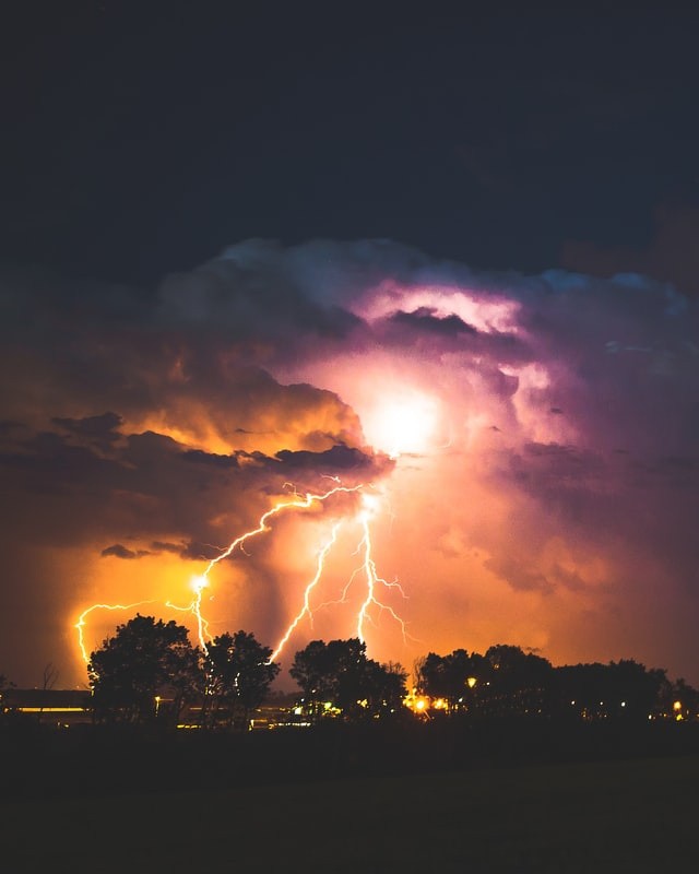
According to an updated National Weather Service data, severe weather characteristics increased throughout a significant portion of Maine on Tuesday.
The chronology begins at 4 p.m. beginning in northern New Hampshire and western Maine and lasts until 8 p.m.
The storm will then pass through the whole of Maine on Tuesday evening.
Extreme weather in Maine, USA

The major hazards in severe thunderstorms will be strong gusts, small hail, and plenty of lightning, as per NewsCenterMaine.
This afternoon, severe thunderstorms are already raging across upstate New York and Vermont.
As a cold front sweeps across eastern Canada and also the northeast, it will eventually reach New England.
The day began with a beautiful, serene, and tranquil dawn from Pine Point. As strong thunderstorms swept into Maine in the afternoon and early evening, things rapidly became turbulent.
This shelf cloud was noticed heading towards Saco by Sean Sanborn, a CFA - Associate Investment Director. There was also damage and concerns of power failures in the Standish region.
New information has arrived, and the potential of severe weather for areas of Maine on Tuesday has increased.
The severe weather warning will be in effect from midday through to the afternoon and into the early evening.
With a danger rating of two out of five, the key risks connected with this severe weather will include gusty winds, small to minor size hail, and lightning.
The western highlands up to northern Maine will be the most vulnerable. There is a lower risk towards the coast and none for the east.
The possibility of severe thunderstorms is increasing over Maine. Tuesday's primary hazards include hail and wind.
New Hampshire Weather update
According to the National Weather Service, all severe thunderstorm warnings have been lifted, as per WMUR.
After the storms Tuesday night, it will continue mild and humid, with lows in the 60s ahead of some other warm and muggy day Wednesday, with a few additional showers or storm possibilities.
Thunderstorms generated severe warnings in western New Hampshire early Tuesday, affecting sections of Grafton, Merrimack, and Sullivan counties until 4:30 p.m., according to the National Weather Service.
The National Weather Service has extended the warning until 5:45 p.m in Grafton, Hillsborough, Belknap, and Carroll counties.
Warnings were in effect in parts of eastern New Hampshire until 6:45 p.m., including Merrimack and Strafford counties.
Rockingham's warning has been extended till 7:15 p.m. while the storms passed through the state. Around 7 p.m., more than 10,000 individuals were without electricity.
Tuesday due to the storms Customers of New Hampshire Electric Co-Op were affected by over 2,700 outages.
Eversource customers were left without power in a total of 6,082 cases. Unitil experienced 400 outages, while Liberty had a few dispersed blackouts as well.
According to Deerfield Fire Chief Matt Fisher, a residence caught fire after being struck by lightning at about 6:12 p.m. More than a dozen communities reacted, and everybody in the home escaped safely.
Fisher stated that the fire had been extinguished.
Concord had hail and strong winds. Trees, powerlines, and signs were down all around the state, notably in Concord and Plymouth.
© 2025 NatureWorldNews.com All rights reserved. Do not reproduce without permission.


