Extreme dryness has gripped the Southwest for weeks, causing the fast spread of wildfires and heat waves. According to AccuWeather, this pattern will continue, with temperatures in specific locations perhaps surpassing record levels.
Fire Season

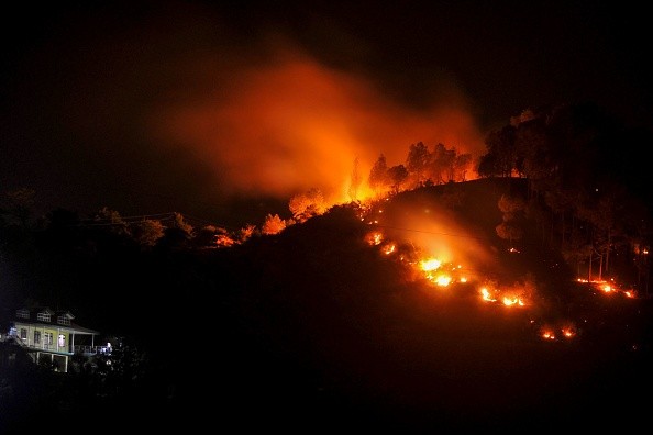
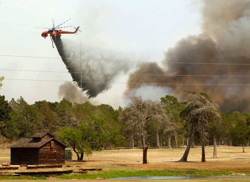
The fire season has already begun in earnest across the Southwest. Destructive wildfires erupted from Texas to Arizona earlier this month, with some still burning.
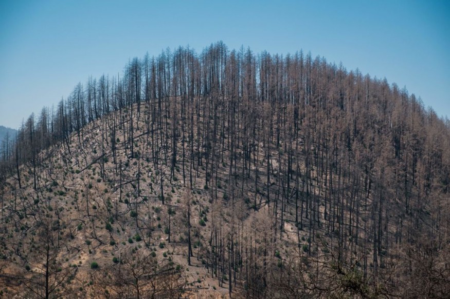
Tuesday morning, the Hermits Peak Fire, which erupted in New Mexico after workers lost control of a planned burn, was barely 40% contained, with over 311,000 acres destroyed. The Black Fire, farther south in the state, was just 11 percent controlled at the start of the week, having burnt over 146,000 acres.
Arizona is also seeing active wildfire. The Tunnel Fire has burnt over 20,000 acres just north of Flagstaff, Arizona, although it is 98 percent controlled.
This past weekend, the quiet and cold weather aided firefighting efforts across the Southwest. A bottleneck in the sky caused by a bulge in the jet stream above the East Coast sent temperatures soaring in the East while allowing for cooler-than-normal weather over the rest of the country, including a late-season blizzard in Colorado and Wyoming. On the other hand, Forecasters believe that this trend is already changing.
"As a colder air mass moves into the eastern part of the country, heat will continue to increase in the Southwest," according to AccuWeather.
As warmer temperatures extend over the Southwest, a disturbance moving into the Plains will maintain an increase in winds across sections of the region, assisting in developing wildfires. While this disturbance is bringing flooding rain to the East, little to no rain is forecast in most of the Southwest, a trend that has exacerbated the region's chronic drought.
"This severe fire weather scenario will be caused by wind and very low humidity," Benz stated.
Winds Worsening the Situation

Winds will continue to be strong, and there will be a fire risk through Wednesday. Winds up to 50 mph are likely, especially at higher elevations and mountain passes.
Meanwhile, low breezes will prevail in California for the first half of the week, reducing the risk of wildfires. A brush fire broke out on the westbound Pomona Freeway in Diamond Bar, but 3 p.m. PDT entirely contained it after 1.7 acres were burned. The fire caused no casualties or damage to the structure.
On Tuesday, the San Joaquin Valley in California will see record-breaking temperatures. The expected high in Sacramento, California, might break the 1982 day record of 98 degrees Fahrenheit.
AccuWeather experts say that while highs in the middle to upper 90s will sweep into the Central Valley and parts of Southern California on Tuesday, record highs will not be threatened.
Rising Temperatures

The temperature will continue to rise through Wednesday when the heat wave will climax. On Wednesday, Sacramento might set a new daily record, reaching the 1951 mark of 100 degrees Fahrenheit.
A daily record held for more than a century is at risk further south. On Wednesday, in Fresno, California, the temperature might reach or surpass the daily record of 102 degrees Fahrenheit set in 1890. Redding, California, might set records as well, with a high in the triple digits flirting with the 1982 record of 103 F.
While the heat may not break records in Nevada, temperatures are expected to be substantially above average. On Wednesday, a high of 89 degrees Fahrenheit in Reno, Nevada, would be 12 degrees above usual for the date. Thursday's high of 103 F in Las Vegas would be 11 degrees above normal.
The persistent drought in the Southwest will further exacerbate the anticipated heat. According to the United States, According to the Drought Monitor, approximately 60% of California is experiencing severe drought, with over 95% experiencing moderate drought.
More than 36% of New Mexico is experiencing extreme drought, the highest severe category. As AccuWeather experts have highlighted, the parched ground may add several degrees to the high temperature on a particular day.
Forecast
The worst of the heat is anticipated to pass by the end of the week when the heat-producing bulge in the jet stream lessens and goes eastward.
Related Article : California Cools Down After Experiencing a Period of Intense Heat
For more news about the environment , don't forget to follow Nature World News!
© 2025 NatureWorldNews.com All rights reserved. Do not reproduce without permission.


