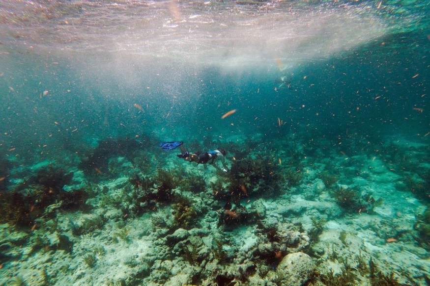
Partway through a video of the team's submarine research, a crew member aboard the Exploration Vessel Nautilus murmurs, "I feel like I'm staring at the route to Atlantis." "Are you serious?" This is insane."

Exploration Team
Perhaps the scientist, who was part of a Corps of Exploration team investigating the Liliʻuokalani Ridge in the Pacific Ocean, could be symbolic because he'd already figured out the structure. A statement on the Nautilus' website provides more explanation after identifying the undersea phenomenon as a "dry lake bed." What appears to be a "golden brick path" leading to the mythological city of Atlantis is an example of active volcanic geology from the past.
The crew recently uploaded a video to the official Nautilus YouTube account, which you can see below. Clips of the team collecting rock samples and commenting on neighboring aquatic life are also shown.
According to CNET, the researchers discovered some gorgeous alien animals on their submersible excursions last month. The team was enthralled by the "unidentified gelatinous monster," with one team member commenting, "Very charismatic." Yay! " during a cruise video clip
Excited Marine Biologists
It's inspiring to see marine biologists thrilled about discoveries. However, it's also depressing to realize how much we still don't know about the ocean, especially given how quickly we're destroying it. Coral reefs are bleaching once more, animals live in plastic wastelands, and scientists predict a global extinction.
Like other oceanic explorers, the Nautilus team cannot be everywhere at once. What forms of sea life will they miss out on cataloging because they died before they could examine it?
Exploring the Ocean
The ocean is Earth's lifeblood, spanning more than 70% of its area, influencing weather, regulating temperature, and supporting all living organisms. The sea has been a critical source of sustenance, transportation, commerce, expansion, and inspiration.
Despite our dependence on the ocean, more than 80% of its enormous underwater world remains unmapped, unseen, and unexplored.
NOAA's Office of Ocean Exploration and Research is leading the charge to understand the ocean by funding expeditions better to research and document its undiscovered and little-known regions. Scientist-explorers guide these trips with cutting-edge exploration equipment.
Meanwhile, NOAA's Office of Coast Survey uses hydrographic surveys to create nautical charts to study the ocean differently. Since the mid-nineteenth century, the U.S. The national nautical chartmaker has been the Coast Survey (an NOAA predecessor agency). Coast Survey is still in charge of generating and maintaining all charts for U.S. coastal waters, the Great Lakes, and the waters surrounding U.S. territory today.
Continuing to Explore
Oceanographers have already made some incredible discoveries, although there is still more to learn. We know, for example, that the ocean, like land, features high mountain ranges and deep canyons known as trenches. If the world's tallest mountain, Mount Everest in the Himalayas, which stands 8.84 kilometers (5.49 miles) tall, were placed in the Pacific Ocean's Mariana Trench or Philippine Trench, two of the ocean's deepest regions, it would not even break the surface of the sea.
Related Article : Archaeologists Discover Lost Ancient Highways of Saudi Arabia Dated 4,500 Years Old
For more similar news, don't forget to follow Nature World News!
© 2025 NatureWorldNews.com All rights reserved. Do not reproduce without permission.


