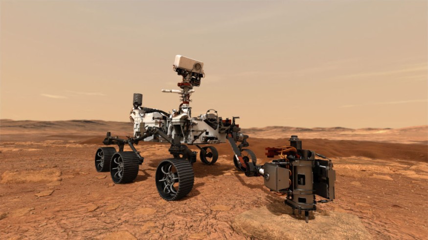
Even though there are many central themes to be solved, Mars is now growing more apparent to us by the moment; due to the several operational spacecraft we now have on the red surface of the planet or in space.
ESA's Mars Express Orbiter Discovery
A distinctive characteristic of Mars' earth science is depicted in exquisite clarity in this newest stuff from the European Space Agency's (ESA) Mars Express mission. These grooves, which resemble huge scuff marks on Mars' forest floor, are component of a massive fissure process termed as Tantalus Fossae.
Apart from the picture's quality, what is among the most impressive is the magnitude is that the fact that these valleys can be up to 350 meters or about approximately 1,148 feet in depth, and 10 kilometers wide or 6.2 in miles, and can up with a significant to 1,000 kilometers. The photograph is in vivid colors, which implies it depicts what living beings can see if they looked at the area according to their own vision.
As per to the experts working in an interview with ScienceAlert, the photograph was created employing a computational topography simulation of Mars and the hue filters of the High-Definition Images Captured on ESA's Mars Express, and yet it provides an amazingly detailed glimpse of the enormous region.
Furthermore, the photograph ahead is an angular perspective of Tantalus Fossae, whereas the photograph beneath is a representation that shows. Along with an ESA newest report, the surface detail of these photos is around 18 meters/pixel, and they are focused at 43°N/257°E. The direction of north is to the right.
Daily Express also reported that the Alba Mons is the largest mountain range on Mars in terms of geographical acreage, with explosive discharge channels stretching at minimum 1,350 kilometers (840 miles). However, its maximum height has an altitude of just 6.8 kilometers.
These fossae formed when Alba Mons rose out from the upper mantle, forcing the region surrounding it to distort and break.
Also read : Historic Solar Storm Almost Brought the World to Brink and Triggered a US-Russian Nuclear War
The Giant 'Claw Marks' Found in Mar's Surface
According to the press announcement the Tantalus Fossae fractures are an outstanding demonstration of a consists of external characterized as a graben. And every ravine created when two simultaneous fissures liberalized, allowing the material across to fall into the ensuing vacuum.
Alba Fossae, a comparable phenomenon, may be observed on the west coast of Alba Mons. These photographs are not merely pleasant to glance at; they could also assist experts to comprehend how Mars' area developed. These formations are assumed to have formed one after the other, resulting in several of the valleys intersecting one another.
For instance, the grabens that extend throughout the accretion disk in the photos show that the trench was there initially. In the first two photos, you could see a minor volcano to the left that is presumably newer and sits on topmost of the basins.
Mars Express has been in space station around Mars for almost 18 years. We're excited to see much more of its distinct perspectives on our sister world.
Related article : NASA Warns 'Flood Basalt Eruptions' Could Significantly Warm Earth's Climate and Destroy Ozone Layer
© 2025 NatureWorldNews.com All rights reserved. Do not reproduce without permission.


