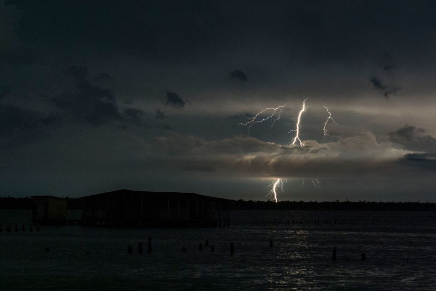
In AccuWeather's annual spring prediction, April was highlighted as a month to watch for severe weather. The forecast is coming true with several rounds of severe thunderstorms over the central United States in the coming days.
Weather Development

Wednesday began with a few minor storms over eastern Oklahoma and Arkansas, but more intense thunderstorms are expected to develop Wednesday evening and persist far into the night.
"Spotty severe thunderstorms will form as a cold front interacts with the day's peak heating through Kansas, western Missouri, and northeastern and central Oklahoma," AccuWeather Lead Storm Warning Meteorologist William Clark noted.
On Wednesday afternoon, temperatures in parts of the region rose into the 70s and 80s Fahrenheit. Before the storms started, Oklahoma City hit 90 degrees for the first time this year, hitting 92 degrees at 4 p.m. CDT.
In addition to the heat, the humidity will soar as southerly breezes carry moisture from the Gulf of Mexico into the area. Some of the storms will be accompanied by downpours due to the moisture. Although parts of the region are still experiencing drought, the rain might fall heavy enough to cause localized flash floods, which is only one possible hazard.
"Downpours, big hail, and destructive winds will likely be the primary storm threats, but an isolated tornado is not out of the question," Clark warned.
Temperature Changes
The air will be cooler and less humid in northeastern Kansas and west-central Missouri, including Kansas City. Flooding, severe winds, and tornadoes will be less likely, but hail is still a threat.
Severe storms are expected to remain into the evening before dissipating overnight.
Thursday is expected to be similar to Wednesday, with scattered severe thunderstorms developing across Oklahoma, Kansas, and western Missouri. Storms will develop throughout the Interstate 35 corridor in the late afternoon and evening hours, with big hail and strong wind gusts being the main dangers. A handful of the fiercest storms might spawn tornadoes.
Extreme Thunderstorms
Severe thunderstorms will be a hazard throughout the central United States through the end of the week and into the weekend.
On Friday, the chance of severe weather will grow dramatically. This threat will spread further north, maybe as far as eastern South Dakota. To begin the weekend, a vast area from Minnesota to Texas may be subjected to severe weather.
Extreme Weather Due to Climate Change
Unexpected, uncommon, severe, or unseasonal weather; weather at the extremes of the historical distribution-the range that has been witnessed in the past-are all examples of extreme weather or extreme climatic occurrences. Severe occurrences are frequently characterized as occurring in the most unusual 10 percent of a location's meteorological history.
For the first time, climate scientists have been able to link recent extreme weather occurrences to the impacts of human activities on the planet's climate systems, marking a significant advancement in climate science.
According to the researchers, the findings make it far more probable that we will soon - within the next few years - be able to determine whether the UK's very wet and freezing summer and spring this year are due to human factors rather than luck.
For more climate and weather updates, don't forget to follow Nature World News!
© 2025 NatureWorldNews.com All rights reserved. Do not reproduce without permission.


