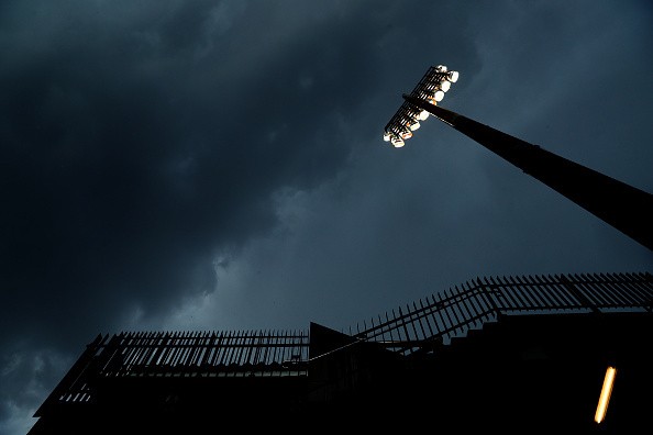
March 30, 2022, is designated as a First Alert Weather Day.
A storm line is expected to form to our west and hit west Alabama at about 6 p.m. Wednesday.
Between 6 p.m. and 6 a.m., the line will move east, affecting the whole of Central Alabama.
Several severe thunderstorms and tornado warnings will be possible because of the line. Straight-line winds of up to 80 mph are causing considerable worry.
That's enough wind to uproot trees, damage the exteriors of homes and businesses, hurl around debris, push or topple prefabricated homes, and toss automobiles off the road.
Because of the huge swath of wind forecast to pass across the area, events like these can affect a larger number of people.
The severe risks of thunderstorm in Alabama

Wednesday night, a line of storms may produce severe thunderstorm wind, very heavy rain, and the possibility of a few tornadoes.
Alabama's danger ratings have been elevated by the Storm Prediction Center. A substantial part of west-central Alabama is currently under moderate danger (level 4 of 5).
The majority of the country has a moderate to high danger, as per WVTM13.
Trees and powerlines might be knocked down by extensive thunderstorm gusts or plain winds.
Tornadoes will be less common, but with the strong winds' divergence, some are still possible. It's expected that one or more severe thunderstorms may be issued.
West Alabama has been raised to a rare moderate danger (red) - threat four out of five - on Wednesday, according to the Storm Prediction Center.
They think this region has the best possibility of seeing scattered wind gusts of 80 miles per hour and a few severe tornadoes.
The rest of Alabama has been raised to an increased risk (orange) for Wednesday, indicating a danger of three out of four, as per WBRC6.
Damaging wind gusts of up to 70 mph are possible near I-65 and points east, with the possibility of localized tornadoes.
Winds will be the greatest hazard, but a few thunderstorms all along the central route may spin up and create tornadoes. The line will also have a lot of lightning and a lot of rain.
Wednesday will experience the weather
Today will be quiet, windy, and sunny. Temperatures will be in the mid-70s and lower 80s.
The Next Big Thing will erupt throughout sections of Kansas, Oklahoma, and Texas by the evening hours. Locally, it's calm and cool, with temperatures in the low 70s.
Wednesday begins with clear skies and temperatures in the high 50s and lowers 60s.
During the day, the winds are expected to pick up.
Starting at 9 a.m., a wind advisory has been issued for all of Central Alabama. It is slated to expire at 4 a.m. on Thursday.
Ahead of the inclement weather, expect southerly winds of 15-25 mph tomorrow, with isolated wind gusts of 40-50 mph.
We can't count out trees falling and causing occasional power outages tomorrow afternoon due to the moist soils and significant wind gusts that preceded the showers.
Temperature and pressure are expected to reach the low to mid-80s Wednesday afternoon, with largely overcast skies.
Between 6-7 p.m., a squall line a line of powerful storms with destructive gusts will likely sweep through west Alabama.
The line will move east, bringing severe gusts and the possibility of spin-up cyclones.
The severe danger will dissipate rapidly as the mainline passes through, but heavy rain will continue to fall over the region.
Rainfall totals might reach 1-2 inches, and isolated flooding is a possibility.
By 4 a.m., the grave threat in east Alabama should have passed Thursday.
Related article: Thunderstorm Asthma: What Is It and Why Does It Happen
© 2025 NatureWorldNews.com All rights reserved. Do not reproduce without permission.


