The clocks might have been altered, as it should have been signaling the start of British Spring Time, but snow may fall in parts of the UK this week, with temperatures expected to plunge in the near future, according to meteorologists.
As per the Met Office, the region will turn exceedingly chilly, fuzzier, and considerably more agitated on Monday (March 28), heightening the possibility of heavy snow over the week.
Temperatures will halve from last week's highs throughout the day and fall below chilling overnight as a cold front moves in from the north.
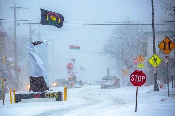
Snow will come to the UK
Following a week of temperatures reaching 20 degrees Celsius, the weather will deteriorate next week.
Following a weekend of high pressure, there is a chance of rain, frost, and snow in several parts.
This high-pressure system will maintain nice temperatures from today (March 24) through Monday, March 28, as per Express.
On Friday, March 25, much of the UK will be sunny, with temperatures reaching as high as 19 degrees Celsius in several places, including London and Birmingham.
Levels are expected to stay low in Scotland, but medium over most of England, and sometimes even high and very high in the east and southeast.
According to Alex Burkill, a Met Office forecaster, Wednesday will become the most severe in aspects of wintry weather, as a cold stream of air begins to push southwards, going to bring unforeseen rainy and warm circumstances, perhaps snow or sleet, as per The Guardian.
It will be significantly colder than what we're seeing so far, with daytime temperatures dropping by half, and some areas will struggle to reach 8 degrees Celsius (46.4 degrees Fahrenheit), indicating the most significant change in conditions.
Up overnight into Thursday and Friday, many areas will be significantly colder than freezing, with temperatures falling to minus 4C (24.8F) and minus 5C, respectively (23F).
Most places appear to be affected; northern England, northern Wales, and central England are anticipated to have the worst impact.
This cold weather could even spread into southern England and Wales, which is also not unusual; colder weather in April is normal, but it's a far cry from the sunny, warm days seen the other week.
For many regions of the country, Sunday dawned gloomy and frigid. Clouds were forecasted to continue drifting eastward throughout the evening, causing showers as well as dense fog and frost.
Warmer weather?
Some forecasts are expecting a heatwave as the chilly climate isn't anticipated to linger long, and as we approach April, as per National World.
Temperatures are predicted to climb in April, with highs of 28 degrees Celsius projected in the next weeks, as analysts believed the hot weather will arrive early this year.
Weather Trending's ex-BBC and Met Office forecaster John Hammond stated, "spring will be in the air, with a gentle wind from the warmer peninsula and temperatures increasing into the teens."
However, it's important to note that climate becomes increasingly more difficult to anticipate as you look further into the future.
The Met Office predicts that conditions will become more volatile in April, with "spells of drier weather mixed with showers or prolonged bouts of rainfall."
© 2025 NatureWorldNews.com All rights reserved. Do not reproduce without permission.


