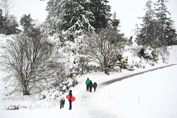
Residents from the Great Lakes to the New England coast may expect another round of winter weather in the first few days of March as the first day of meteorological spring approaches.

Areas to Experience Snow
According to AccuWeather Meteorologist, a procession of clippers is expected to move over the northern tier of the United States early next week, each time bringing a rapid burst of snow along the storm track.
The week began with a burst of snow showers and squalls over the Northeast into Sunday evening, before the first clipper of the week makes its way into Minnesota, Wisconsin, and Michigan on Monday night, as per AccuWeather.
Tuesday night and Tuesday morning, the same clipper is predicted to pass over the Northeast. Limited moisture should keep total snowfall along each clipper track low, AccuWeather Meteorologist Matt Benz.stated.
A coating of 2 or 3 inches of snow is forecast as the storm journeys across the northern tier of the country. This is enough to make roads slick and decrease visibility for drivers, but it is unlikely to cause long-term problems.
Clippers Expected to Impact the Temperatures of Some Area
According to UPI, two more clippers are forecast to bring light precipitation from North Dakota and Minnesota to the interior Northeast on Tuesday, Wednesday, and Thursday, each bringing a few hours of snow showers.
As each clipper comes and departs, the temperatures in these areas are expected to change. The Upper Midwest has been under a hard frost for the last week of February. Grand Forks, North Dakota, saw highs in the teens for the majority of the week, while Minneapolis had highs in the teens.
Temperatures in Green Bay and Madison, Wisconsin, were similarly below average, with highs in the lower 20s F. Many people experienced temperatures at or below zero at night.
This week, the temperature in International Falls, Minnesota, dropped to -40 degrees Fahrenheit twice. During the month of February alone, International Falls established four daily low temperature records.
The persistent clippers are forecast to keep temperatures more steady, and around normal, over the Upper Midwest, while regions further south warm up to mid-spring levels, Benz noted.
Weather Pattern May Change Late in the Week
Temperatures in the Northeast are expected to be more volatile through the middle of the week. The hottest air is expected to continue in the mid-Atlantic. Temperatures in the 50s are expected in cities like Philadelphia and Washington, D.C. as they stay south of the snowy blasts.
Further north, areas like Buffalo, New York, and Boston will continue to see temperature swings, with highs ranging from the 20s to 40s. Temperature swings may have a significant influence on health, especially for those who have underlying disorders like arthritis or other joint-related conditions.
Colder weather, in general, affects overall blood circulation, which can exacerbate discomfort. One of the greatest ways to maintain the body circulation moving throughout the body is to get some fresh air. If it's chilly outside, one should dress in as many layers as possible and not to remain out too long.
Related Article : Snow Quall Warning Keeps Everyone on the Edge
For more news, updates about snow and similar topics don't forget to follow Nature World News!
© 2025 NatureWorldNews.com All rights reserved. Do not reproduce without permission.


