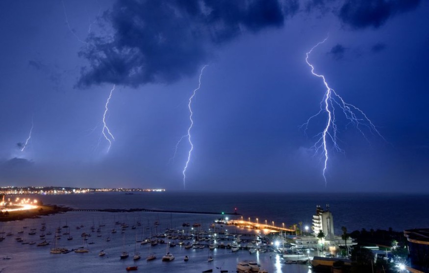
A developing storm system for the past several days will bring severe weather in the eastern half of the United States in the coming days starting Wednesday, Feb. 16, as per the latest weather forecasts.
The storm system is expected to cause multiple hazardous weather conditions, including heavy snow, flooding due to torrential rain, thunderstorms, and tornadoes.
It will affect large portions of the Midwest, Great Lakes, Northeast, and Southeast US. Prior to the storm, the said areas will experience warmer temperatures but will be short-lived once the storm comes all the way to the Eastern Seaboard.
Severe Weather Risks

Following a week of relative calm after the winter storms throughout January until early February, a new threat poses in the form of a developing storm system.
The storm system is predicted to bring potential severe weather risks such as heavy snowfall, torrential rain, flooding, thunderstorms, and tornadoes in the eastern half of the US.
According to the latest weather forecasts of the National Oceanic and Atmospheric Administration (NOAA) - National Weather Service (NWS), severe storms associated with the developing storm system will affect millions of Americans in the coming days.
Based on the NOAA - NWS forecast, the storm's low pressure and high-altitude cold air will shift in the Texas Panhandle and slightly to the Ohio Valley from Wednesday.
The forecast also showed severe storms are expected to develop across the southern Plains from Wednesday evening, as per The Washington Post.
Also read : Meteorologists Issue Storm Alert for Thunderstorms and Tornadoes to Central US from Midweek
Level 2 Slight Risk for Severe Thunderstorms
The NOAA - NWS' Storm Prediction Center has issued a level 2 slight risk for severe thunderstorms in the trajectory of the storm from Wednesday to Thursday, Feb. 16 to Feb. 17.
During the period, the most affected areas will be in central and eastern Oklahoma and northeastern Texas. These areas include the Interstate 35 corridor from Dallas to Oklahoma City, the Red River, the 287 route from Fort Worth to Vernon, as per The Washington Post.
The forecast also mentioned additional locations such as Wichita Falls, Tulsa, and Lawton-Fort Sill.
In addition, the NOAA - NWS forecast also indicates the storm will affect major parts of the states of Arkansas, Louisiana, and Mississippi; while only affecting a portion of Alabama, Missouri, Tennessee, and Kentucky.
Potential Travel Disruption
There were no immediate reports of flight disruption in relation to the storm, as per the FlightAware website. However, potential cancelation or delay of flights due to the storm is possible on Wednesday and Thursday. This is also based on previous and recent storms across the US.
Furthermore, road traffic movement is also possible due to heavy rain-induced flooding and strong winds from tornadoes.
In January, the winter storms across the US have also brought heavy snowfall and torrential rain-leading to the cancellation of more than 1,300 US flights, as per News Nation USA.
The storms also left a total of more than 300,000 Americans without power in the Northeast, Midwest, and other parts of the US.
© 2025 NatureWorldNews.com All rights reserved. Do not reproduce without permission.


