As the heat subsides in the West, a major shift in the weather pattern for the eastern United States will bring above-average temperatures. However, there will be some drawbacks to the shift.

Big Storm Expected to Take Shape Next Week
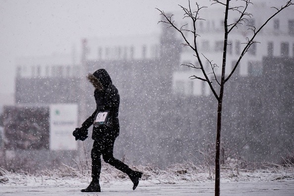
Forecasters are monitoring a major storm expected to form in the middle of the country's midsection next week. Some areas may see snow, while others are likely to face an outbreak of severe weather, as per AccuWeather.
There has been a northward bulge and a southerly dip in the jet stream for at least the last four to six weeks. Temperatures have fluctuated in the Eastern states, while those in the West have remained largely dry and mild.
This weekend's jet stream pattern will undergo a complete 180-degree turn. Next week, the East will see a rise in temperatures and the West will see a fall.
There have already been many warm days this week, with temperatures ranging from 30 to 40 degrees F in the South and East. However, a late-week heat wave is expected to add 10 to 20 degrees and bring temperatures as high as 50 to 70 degrees F to many parts of those regions on Thursday and Friday.
Northeast might experience its warmest temperatures since December in many parts of the region.
High temperatures in February range from 57 degrees Fahrenheit (Atlanta) to 47 degrees Fahrenheit (DC) to 41 degrees (NYC) to 38 degrees (Boston).
According to the National Weather Service, this week's record-breaking warmth west of the Rockies will be replaced by more usual highs in the 30s to 60s and low 70s in coastal Southern California.By the end of next week, parts of the Southwest might see their coldest temperatures since December.
Also Read : Bomb Cyclone: Atmospheric Scientist Explains Everything You Need to Know About This Winter Storm
Places to Experience Freezing Temperatures
Low-elevation rain and light to moderate snow are expected in the Cascades, Sierra Nevada, and central and southern Rockies when temperatures fall below freezing at the lower elevations, as per .
Over the southern Plains and Rockies, a large storm is expected to form because of the new jet stream structure. Once it reaches the Great Lakes region next week, it will travel across the central states.
East of the Rockies, a storm is forming that will bring in moisture from the Gulf of Mexico, which will assist feed a variety of precipitation types.
Near Texas and Oklahoma's panhandles and maybe into Wisconsin and Michigan, as well as possibly Chicago, the storm's frigid northwestern edge is expected to bring heavy snow and hazardous travel conditions.
Interstates 29, 35, 70, 80, 90, and 94 could be affected by a slick travel zone in the middle of the country due to snowfall. Shipping could also be affected by the cold weather.
The southern Plains and areas of the Midwest and Northeast may see a narrow band or pockets of ice just south and east of the snow area and just ahead of the advancing storm.

The Storm May Bring Heavy Rain to Some Areas
Unlike the cross-country storm in early February, which brought snow and ice to most of the southern Plains and middle Mississippi and Tennessee valleys, this storm is expected to bring rain.
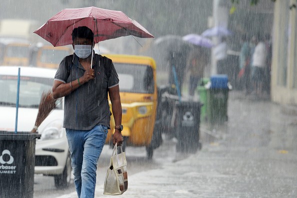
From eastern Texas and Louisiana through southern Michigan, the central Appalachians, and the northeastern United States, torrential rain and flooding are forecast along the storm's warm and southern side. Tornadoes are possible in several parts of the South Central states as thunderstorms develop.
According to AccuWeather Storm Warning Meteorologist, Michaela Heeren, the chance of severe thunderstorms from central Texas to central and eastern Oklahoma next Wednesday is moderate, and threats are expected to shift or increase eastward through the lower Mississippi Valley on Thursday.
Meteorologists at AccuWeather will keep a close eye on the recent shift in the country's weather patterns and the potential development of a significant storm in the Midwest in the coming days.
For more news, updates about storms and similar topics don't forget to follow Nature World News!
© 2025 NatureWorldNews.com All rights reserved. Do not reproduce without permission.


