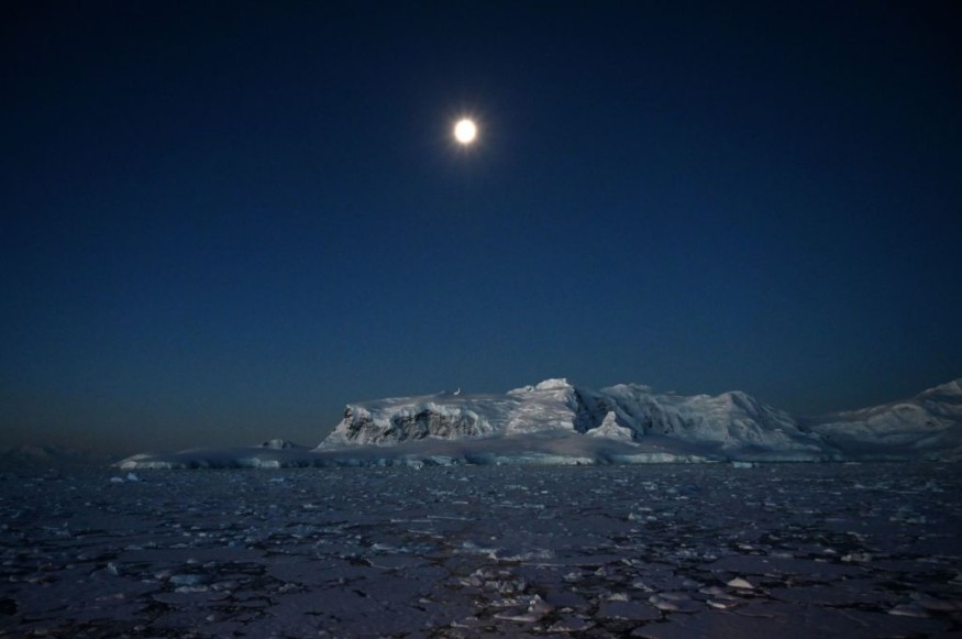
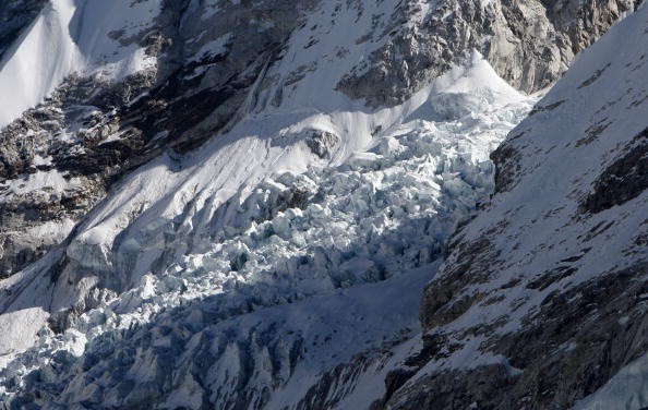
Three glaciers at the South Pole are being studied with degrees of clarity and completeness never seen before. University of Houston conducted a research employing an innovative remote imaging method known as synthetic aperture radar interferometry.
The new remote sensing data system is not only revealing cold secrets from Earth's least studied continent, but it is also raising concerns about current and future global climate dangers.

A research published in Nature Geoscience details the fast and unexpected retreat of the Pope, Smith, and Kohler glaciers in West Antarctica's Amundsen Sea Embayment.
Glacial Study
The study's principal author, radar scientist Pietro Milillo, assistant professor of civil engineering at UH, said, "Thanks to the current generation of radar satellites, we have been able to witness retreat rates quicker than previously reported among glaciers throughout the world in recent years."
That's a clue that things aren't settling down or even stabilizing. This might have severe consequences for the whole glacier system in this area's balance.
Milillo is joined by University of California Irvine researchers and scientists from three national space agencies in an ongoing worldwide investigation of data obtained by the TanDEM-X and COSMO-SkyMed satellites: NASA, the German Aerospace Center (DLR), and the Italian Space Agency (ASI).
Investigating Glacial Vulnerability

The study team intends to apply what they've learned about the Pope, Smith, and Kohler glaciers to their larger and more vulnerable West Antarctica neighbors, the Thwaites and Pine Island glaciers, as well as the whole Antarctic glacier system.
"The issue here is that we found such a high retreat rate-so high that we see these three smaller glaciers capturing the basin from the nearby Thwaites glacier, causing Thwaites to lose more mass," Milillo explained."
At the furthest point on the planet, the South Pole is dark for the majority of the year. Due to the harsh weather, researchers may only come for brief periods, limiting their study.
As Milillo points out, Antarctica is so far away that the closest humans are usually astronauts aboard the International Space Station circling the planet.
Radar, he claimed, is ideal for those applications. Radar has the advantage of being able to pierce clouds. It can look good in any weather. We don't have to rely on the sun's light because it's an active sensor.
The team examines bi-weekly elevation changes to determine retreat at a glacier's grounding line, the border on the underside of a glacier where frozen land meets warmer water, as part of the monthly measurements.
The grounding line becomes more susceptible because the warm water carves out an ice shelf that begins to float and might easily break away.
Massive Melt
According to Milillo, if all of Antarctica's ice above flotation melted, the sea level would rise by an average of 58 meters (190 feet). The mass loss from Antarctica and Greenland will increase if we verify the indications we're looking at. The sea level will rise as they grow.
If all of these glaciers melt, sea levels might rise dramatically. A sudden migration might occur since 267 million people live on terrain less than 2 meters (6.6 feet) above sea level. According to Milillo, subsidence may also result in massive constructions sinking in sensitive areas, such as Houston.
For the time being, Milillo is focused on the near future, especially NASA's plans to deploy its NISAR satellite in 2023, which will offer even more data and more often than the current state-of-the-art synthetic aperture radar.
The satellite, also known as NASA-ISRO SAR, will track changes in ecosystems, dynamic surfaces, and ice masses, giving Milillo and his colleagues a clearer image of our changing planet.
Also Read : Ocean Temperature Reaches "Point of No Return" as Climate Change Creates Irreversible Scenario
For Environmental News, don't forget to follow Nature World News!
© 2025 NatureWorldNews.com All rights reserved. Do not reproduce without permission.


