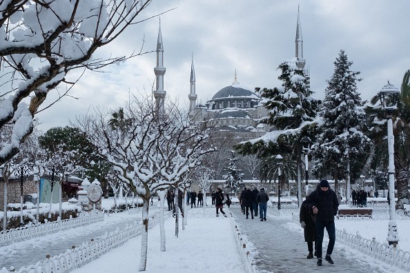
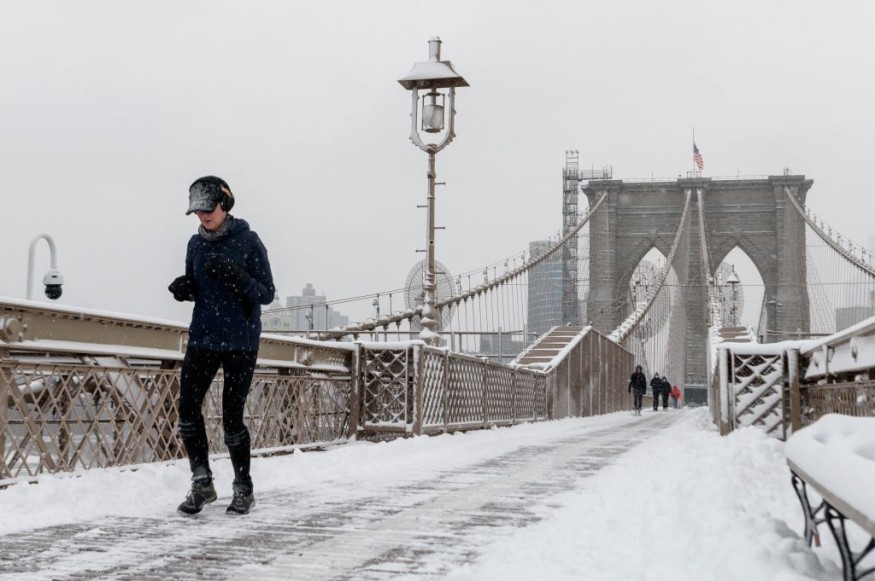
As February begins, winter storm Landon is expected to dump a lot of snow, sleet, and freezing rain from the Rockies to the Plains, Midwest, and portions of the Northeast.
As a strong, southerly dive of the jet stream carves through the western and central United States, rising moisture is pulled northward over the cold air, a fresh supply of arctic air is flowing into the country's heartland.
When this configuration occurs in the middle of the winter, it may produce a large area of snow and ice that impacts various places over several days.
Winter Storm Warning

The National Weather Service has issued winter storm warnings, winter storm watches, and winter weather advisories for an area spanning from Colorado and New Mexico to upstate New York and northern New England, illustrating the storm's extensive extent. As the crow flies, that's a distance of more than 1,800 miles.
Through the end of the week, travel in these areas might be challenging due to snow, sleet, or freezing rain on one or more days. Significant ice could cause power outages and tree damage in certain areas, mainly from eastern Oklahoma through the Ozarks and sections of the Mississippi and Ohio valleys.
Cold Air
To make matters worse, new cold air rushing in during and after the storm may make roadways danstgerous even after the storm has passed, with projected lows in the teens in portions of north Texas and single digits or worse in the central Plains and Midwest.
Be prepared to postpone or cancel any travel plans you have in these places from mid to late week, according to Weather News.
This storm's projected snow and ice accumulations are listed below, along with our most recent prediction dates. Keep an eye on weather.com and The Weather Channel app for critical forecast updates in the coming days.
Snow, sleet, and freezing rain are forecast to extend from the Rockies to the Plains and sections of the Midwest and Great Lakes on Tuesday night.
This wintry mess will remain in many of these same regions on Groundhog Day, with the possibility of significant snow in certain areas. Snow, sleet, and ice could fall as far south as Oklahoma and as far north as sections of Texas. The rain could turn to freezing rain by Wednesday night, making travel treacherous in the Dallas-Fort Worth area.
Trajectory
The trouble will eventually make its way into the Northeast later Wednesday. Still, snow, sleet, and ice may be limited to parts of the interior Northeast and northern New England, as warmer air brought in by southerly winds will allow rain in southern New England and the mid-Atlantic, including areas hit by Winter Storm Kenan over the weekend.
Snow, sleet, and freezing rain could linger as far south as Central and West Texas on Thursday, extending into the Ohio Valley and Great Lakes, while rain soaks much of the Northeast, except upstate New York and northern New England.
As the storm moves eastward, much of the precipitation across Texas and Oklahoma should taper off by Thursday night. From the mid-Mississippi and Ohio valleys to most of the interior Northeast, snow, sleet, and freezing rain will persist into the midnight hours.
The storm's last stages will play out in the Northeast on Friday.
Weather Following Landon

Rainfall in areas of the Northeast may turn to snow and ice when the cold front passes through, bringing snow and ice as far east as southern New England and the New York tri-state area. However, it's too soon to tell if this will influence tourism in these areas.
According to a report in Gizmodo, by Friday night, much of the storm's precipitation should have subsided.
Many places in Landon's course, from the Southern Rockies and Central Plains into the Midwest and northern New England, might get 6 inches or more of snow, including Kansas City, St. Louis, Chicago (particularly the south side), Indianapolis, Cleveland, Detroit, Buffalo, and Burlington, Vermont. Snowfall might reach up to a foot (or more) in certain areas.
As far south as Texas, some light snow accumulations are likely.
From northern and central Texas and eastern Oklahoma through the Ozarks and the mid-Mississippi and Ohio Valleys, freezing rain might build on tree branches, power wires, and other surfaces.
There may be enough ice in some regions to break tree branches and knock off electricity. That potential is now greatest in the areas tinted deeper purple below, traversing southern Missouri, northern Arkansas, and southern Ohio.
Other regions might experience at least a thin layer of ice, posing a risk of dangerous travel. However, power outages and broken tree limbs in these areas, extending as far south as north-central Texas, cannot be ruled out.
For more news about the environment , don't forget to follow Nature World News!
© 2025 NatureWorldNews.com All rights reserved. Do not reproduce without permission.


