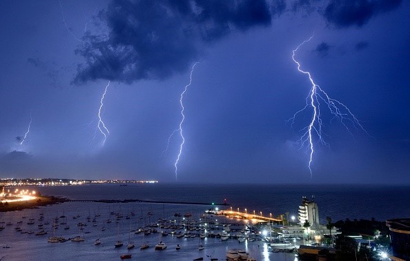
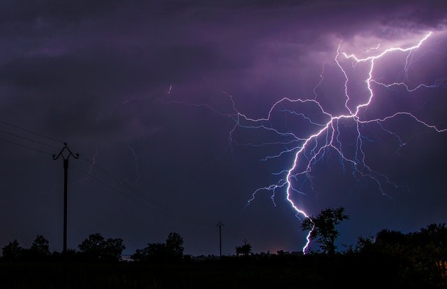
A bolt of lightning has broken the world record as it becomes the longest documented flash. The World Meteorological Organization said the flash across Texas, Louisiana, and Mississippi which happened in April 2020 beat Brazil's previous record set in 2018.

Longest Lightning Record
A lightning which extended about 440.6 miles was previously recorded in Brazil and this was the record set in 2018, according to News Break.
On March 4, 2019, a new record for the longest duration of a flash was set over northern Argentina by the WMO's Committee on Weather and Climate Extremes, which measured 16.73 seconds. The previous record, set by France in 2012 at 7.74 seconds, was blown out of the water.
For another record-breaking event in 2020, one lightning bolt over Uruguay and northern Argentina was seen for 17.1 seconds, beating the 16.7-second mark. According to Arizona State University's Randall Cerveny, the chief of records verification for the Meteorological Organization, lightning rarely extends more than 10 miles and lasts less than a second.
In an email Cerveny said, "These two lightning flash records are absolutely extraordinary," as per NBC News.
'Megaflashes,' as they're known, can occur in only a few spots in the world, including these two regions, according to meteorologist Mark Cerveny.
Monster Storms Produce Megaflashes
A Megaflashes lightning bolts is not generated by normal thunderstorms, which frequently flash and deplete the electrical charges that cause lightning.
A "Mesoscale Convective System," or MCS, is the term used by meteorologists to describe the process in which a large number of thunderstorms form a single system.
Due to the big anvils and rain regions' large electrified clouds, which have modest flash rates, charges can develop rapidly. It is possible for a flash to spread over huge distances for a long time, as per .
GOES-16, a relatively new weather satellite, kept a close eye on the new record-setters. All lightning activity in North and South America may be tracked at all times by the new GOES-16 equipment.

Geostationary Lightning Mapper
Recent advancements in satellite monitoring technology enabled the discovery and confirmation of these records, which are unrelated to climate change.
At any time of day or night, the satellite's Geostationary Lightning Mapper (GLM) identifies lightning-induced light emissions from cloud tops. The instrument's data can be used to predict extreme storms, such as hailstorms, microburst winds, tornadoes, and hurricanes.
In North America, the Great Plains, and South America's La Plata basin, GOES-16's lightning mapper provides a unique chance to study Mesoscale Convective Systems.
In a report on the record-breaking flashes just published, scientists determined GOES-16 GLM as a good platform for documenting severe lightning. They claim that GLM's capabilities greatly exceed those of its predecessors.
For more news, updates about lightning and similar topics don't forget to follow Nature World News!
© 2025 NatureWorldNews.com All rights reserved. Do not reproduce without permission.


