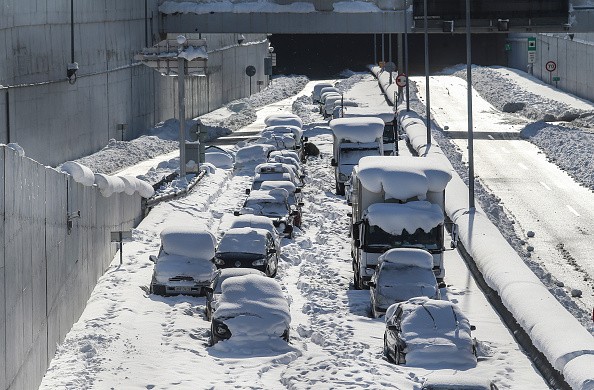
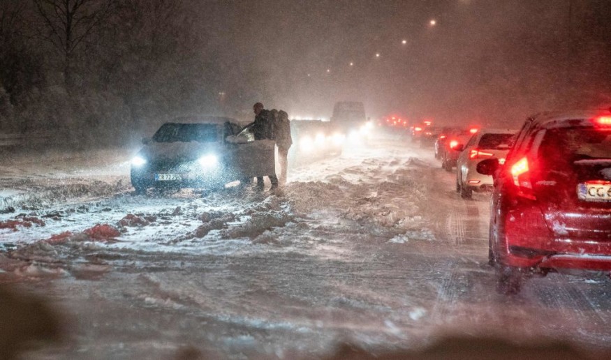
A southern plunge of Arctic air will reach Florida, causing temperatures to plummet to their lowest levels in years in the Sunshine State.
According to AccuWeather analysts, crops and decades-old records might be jeopardized by this chilly blast. Temperatures in certain regions might plummet to levels not seen in more than 80 years, while others could set new daily lows. Iguanas may fall out of trees due to the cold weather in some areas.
Freeze Warnings

According to Good Earth Garden, freeze warnings were issued for sections of southern Georgia and northern Florida on Thursday afternoon, including areas around Jacksonville.
While Mother Nature has already delivered many waves of harsh air to the state this season, this upcoming storm is predicted to be the coldest yet.
Temperatures will likely plummet over the inland Southeast on Friday night, with the coldest parts reaching the Florida Peninsula by Saturday night. A nor'easter is expected to hit parts of the mid-Atlantic and New England this weekend, bringing chilly air with it.
Across the Southeastern states, peak temperatures are expected to be trapped in the 30s and 40s F on Saturday, 10-20 degrees Fahrenheit below typical. The high in Atlanta, for example, is expected to be in the middle 30s, although the middle 50s are more usual for this time of year.
Temperature Changes
Temperatures may be in the 20s throughout the day if there is a strong breeze. This might cause problems for the agriculture industry in Florida.
Forecasters say the heavy freeze expected to hit Florida on Saturday night poses a major threat to citrus and berry crops. They recommend taking frost and freeze mitigation steps ahead of time to reduce or prevent damage and loss.
15 to 20% of the orange fields on the central Florida Peninsula "may fall minus 28 degrees Fahrenheit for two to three hours on Saturday night," according to Senior Agricultural Meteorologist Dale Mohler. According to the Florida Department of Citrus, most of the state's oranges are grown in the southern two-thirds of the peninsula, where there is a low chance of freezing.
This weekend in Florida, the mercury in the thermometers might not be the only thing decreasing. Cold-blooded iguanas in the state can't survive such low temperatures and can become paralyzed when temps drop into the intense 40s F.
Because temperatures drop to their lowest point at night, these cold-snapped iguanas become immobile while resting in trees, falling to the ground in a zombie-like posture. They'll come back to life as the temperatures rise in the morning, but not before giving unsuspecting Floridians a scare.
Lower temperatures are expected to remain longer in northern regions of the state, while temperatures in the south will only be below freezing for a short period.
Temperatures this low will put a lot of records in peril for January 30.
In Orlando, Florida, the daily record low for January 30 is 31 degrees Fahrenheit, established in 1966. According to the National Weather Service in Tampa, low temperatures on Sunday morning might be the lowest in the area since 2018.
Freezing Weather
On Sunday, Fort Myers, Florida, is predicted to be in a position to tie its record low. In 1978, a low of 35 was set. Miami might potentially come close to matching its all-time low of 36 for January 30, established in 1940.

Even farther south, in the Florida Keys, the temperature might drop into the mid-40s Saturday night in Marathon. Marathon's temperature dropped below 50 degrees in the last ten years, only six times, the most recent occurrence being January 22, 2020.
Temperatures in the mid-teens to low-twenties Saturday night from Tennessee through the Carolinas, Georgia, and Alabama will necessitate extra clothing for anybody outside.
During this cold weather, forecasters encourage property owners to take precautions to avoid costly damage caused by frozen pipes. Furthermore, pet owners are advised not to keep their animals outside for long periods.
The good news is that meteorologists predict that this cold snap will pass swiftly, with temperatures rebounding as early as next week.
Further north, the Arctic surge will keep temperatures below average in the Midwest and Northeast, both throughout and after this weekend's powerful nor'easter.
For more news about the environment , don't forget to follow Nature World News!
© 2025 NatureWorldNews.com All rights reserved. Do not reproduce without permission.


