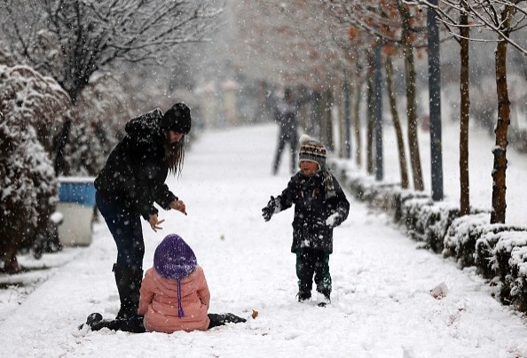
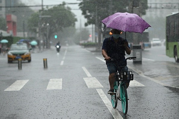
Christmas travel might be disrupted by a foot of snow in the Sierras and rainstorms that could last through Sunday in California.

California to Experience Snow and Rain
A dramatic southerly jet-stream drop off the West Coast will keep California wet through Sunday, although the winter months remain firmly in California's rainy season.
Rain is expected to return to Northern California on Tuesday. On Wednesday, rain and snow are expected to persist throughout Northern California, especially in the Sierra.
By Wednesday night, rain may have reached as far south as Southern California. On Wednesday night, the Sierra will see a significant increase in snowfall, according to The Weather Channel.
Rain and snow are expected to return to California on Thursday and Friday (Christmas Eve). Even at altitudes as low as 2,500 to 3,500 feet, substantial Sierra snowfall is possible.
The timing of the rain is still up in the air, but it is expected to be moderate to heavy at times at lower altitudes over most of California.
Christmas Day: Rain showers are expected to persist in Northern California as well as Southern California with snow falling at relatively low altitudes on Mount Whitney in the Sierra (2,500 to 3,500 feet).
While much of Southern California is predicted to stay dry on Sunday, some leftover mountain snow and valley rain showers are anticipated in Northern California.
Predictions of Snowfall Level
Typical of this cycle, the Sierra Nevada will see snowfall totals measured in feet once again.
A total accumulation of one to five feet is expected in the Sierra through Sunday. The National Weather Service predicts rainfall of 7 to 10 feet in certain areas.
Snow and wind gusts up to 60 mph are expected to make travel in the Sierra more challenging by Tuesday and Wednesday. Roads like Interstate 80 over Donner Summit and U.S. 50 might be closed for a period of time.
By Friday, additional snowfall in Southern California may make driving dangerous.
Areas Expected to Witness Flooding
Researchers expect at least 1 inch of rain for all of Northern and Southern California, with larger amounts expected in the foothills and mountains at altitudes too warm for snow. However, this rain will fall over a number of days, not all at once.
Local flash floods and debris flows from regions recently scorched by wildfires will remain a concern in flood-prone areas.
Evacuation orders from local emergency management should be heeded quickly if you reside in an area recently affected by wildfires.

Hope For More Goldilocks Scenario
Lately, there have been some good news about the drought in California.
In the Sierra, two storms have deposited feet of snow in the previous several weeks, bringing the snowpack from a tiny amount after a dry November to one that is close to normal for this time of year.
In spring and summer, the Sierra snowpack provides nearly a third of California's water supply by replenishing the state's reservoirs.
After an almost two-year drought, many of the state's reservoirs remain lower than normal. It's possible that this weather pattern may help alleviate the drought, despite the inconvenience of mountain travel and the possibility of small floods and debris flows.
Researchers hope this Goldilocks pattern continues through spring for the purpose of drought alleviation.
Related Article : Meteorologists: Chances of White Christmas Across US is Changing
For more news, updates about snow and similar topics don't forget to follow Nature World News!
© 2025 NatureWorldNews.com All rights reserved. Do not reproduce without permission.


