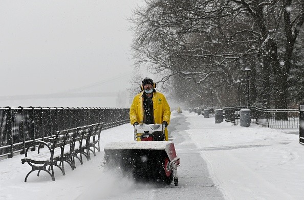
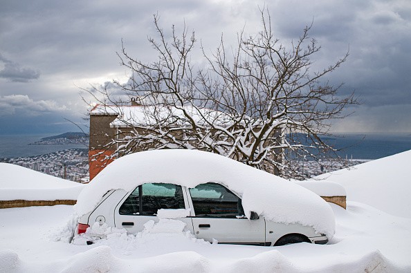
Some areas may see 12 inches of snow or more. Regardless of accumulations, the storm will be a shocking change to recent weather in the West and Midwest. Forecasters at AccuWeather believe a growing cross-country storm will unleash all types of severe weather late this week and into the weekend.

Nine States Under Winter Storm Warnings and Watches
The storm will be a stark contrast to recent weather, particularly in the western and central United States, where it will bring heavy snow after unusually warm autumn and a relatively calm start to the month, according to Accuweather.
On Thursday, parts of nine states were under winter storm warnings and watches as the wintry storm started forming over the western U.S.
It's unlikely that a bomb cyclone will develop, but this storm will be strong enough to bring the first considerable snowfall of the season to numerous Western mountain ranges, including the Colorado Rockies and the Wasatch Range.
Traffic on major highways in Utah, Colorado, and Wyoming is expected to be disrupted by heavy snowfall in the Wasatch Range and Rockies from Thursday night into Friday morning. If possible, forecasters urge shipping and transportation businesses traveling across the nation to use a southern route.
The snow drought in Salt Lake City will end with a few inches. Because the storm will move north and west of Denver, the snowfall may not be measurable.
The snow drought can be ended with only 0.1 inches of snow, but there is a risk that just a few flurries may fall. Snow accumulation is more expected in the foothills west of Denver. From March 5 to October 25, 1887, no snow fell for 235 days in a row, setting the all-time record.
As of Dec. 8, the 2021 season has the latest first measurable snowfall on record, with 231 days without snow.
Sierra Nevada to Experience Significant Snow
A few inches up to a foot of snow is anticipated to fall in the Sierra Nevada this week, according to forecasts. On Thursday, slippery conditions and delays could possibly occur along Interstate 80 near Donner Pass, California. There might be several inches of snowfall in the mountains of northern Arizona.
Strong winds and rain showers are expected from Colorado and Nevada Thursday night through Friday in the Southwest, where it's too warm for snow. Dust may be blown about even if it doesn't rain. Forecasters predict 40-60 mph crosswind gusts throughout southern Nevada, Arizona, and New Mexico Thursday and Friday.
Eastern Wyoming and northern Colorado are anticipated to be hit with a broad swath of heavy snow as the storm exits the Rockies.

Areas Impacted by Tornadoes
The warmer side of the storm may bring more severe weather to the Mississippi, Ohio, and Tennessee valleys late this week and this weekend, according to AccuWeather.
After an outbreak that lasted from Sunday to Monday, resulting in 80 severe weather reports, six of which were tornadoes. On Monday, an EF1 tornado hit Stamping Ground, Kentucky, causing extensive damage.
As the storm's cold front advances eastward across the Great Lakes, Ohio, and Tennessee valleys, the risk of strong winds, flooding rain, and potentially isolated tornadoes rises from Friday night to Saturday night.
Even in areas where thunderstorms are not severe, drenching rain and the risk of localized flash flooding are expected late this week and into the weekend, according to AccuWeather Senior Meteorologist Brett Anderson.
For more news, updates about storms and similar topics don't forget to follow Nature World News!
© 2025 NatureWorldNews.com All rights reserved. Do not reproduce without permission.


