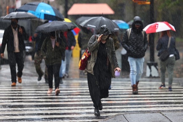
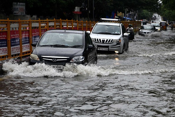
The intensity of extreme rainfall events is expected to keep increasing, this means that storms from hurricanes to thunderstorms with lower pace will bring a greater risk of flood events.

Heaviest Single-day Rainfall Events
According to a recent analysis by Climate Central, a group of independent scientists and journalists that stays in Princeton, New Jersey, each year's highest single-day rainfall events have increased in precipitation over the past 70 years.
72℅ (178) of the sites surveyed by Climate Central reported an increase in rainfall on their yearly wettest day since 1950. The research found that cities in the Gulf Coast and mid-Atlantic witnessed the biggest increases in rainfall volume, with Houston receiving 2.8 inches more rainfall than in 1950.
Hurricanes, atmospheric rivers, and slow-moving thunderstorms have all generated heavy single-day rainfall. The wettest day in Houston in 2017 was Aug. 27 during Hurricane Harvey's landfall. Recently, an atmospheric river that swept across Northern California in October dumped over 5 inches of rain on Sacramento in one day, the highest since 1950.
Taking this into consideration, the statistics imply that occurrences like this are increasing the risk of flooding throughout the US.
Aftermath of Flood Events
Flooding is one of the nation's most costly weather-related dangers, causing $48 billion in damages from 2016 to 2020, according to the NOAA's list of $1 billion catastrophes. Climate Central predicts that severe precipitation causes one-third of flood damages.
The rise of heavy rainfall is attributed to climate change, especially a warmer atmosphere. With each degree Fahrenheit rise in temperature, the atmosphere can contain 4% more moisture, increasing the frequency and intensity of heavy rains.
Studies show that as the planet warms, the frequency and severity of these heavy rain events will rise.
Scientists have linked global warming to the intensification of storms. More moisture in the atmosphere allow storms to drop more rain on the regions they pass, boosting flooding risks.

Marine Heat Wave: Causes of Major Rain Events
Hurricane Ida impacted Louisiana in late August 2021, and the rain it brought days later as a tropical storm affected the Northeast, killing over 50 people.
While the Climate Central research did not expressly connect Ida's effect in the Northeast to climate change, AccuWeather forecasts did link it to marine heat wave, which helped fuel some of the significant rain events in New York City this year.
Ida poured 7.13 inches of rain on New York City on Sept. 1, making it the city's wettest day of the year so far. Though, Sept. 1, 2021 is not the rainiest day in New York history. Only two days in history were rainier.
While most of the cities surveyed saw an increase in severe rainfall, some, including Washington, D.C., and Chicago, saw minimal change, with Washington even experiencing a decline in record rainfall days. Record rainfall days at Little Rock, Arkansas, Dayton, Ohio, and Erie, Pennsylvania decreased.
From coast to coast, 2021 has been a record-breaking year for heavy rainfall. 15 percent of the wettest days of 2021 were among the 10 wettest years on record for the 2,568 stations studied. On Oct. 31, Sacramento, Newark, NJ, and La Crosse, WI all had their wettest days since 1950.
Each region's rise in rainfall appears different. Over Oct. 24, an atmospheric river dumped 5.4 inches of rain on Sacramento, establishing a record. It accounted for 48% of the city's annual rainfall. Meanwhile, in the Northeast, Newark had 8.4 inches of rain on Sept. 1, but that's just 16% of the year's total.
For more news, updates about rainfall events and similar topics don't forget to follow Nature World News!
© 2025 NatureWorldNews.com All rights reserved. Do not reproduce without permission.


