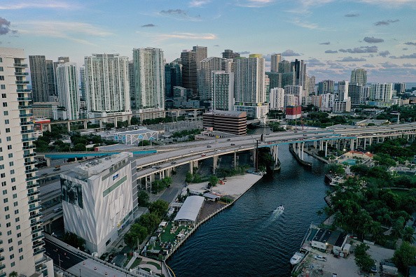
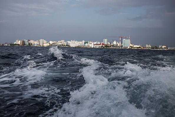
The worst effects of climate change often feel far away from home, but a series of sudden picture renderings which climate central releases make the possibility of rising sea levels surprisingly hit near home.

Global Warming
Climate Central is a group of scientists and journalists dedicated to researching the effects of global warming and climate change.
The organization recently launched their "Picturing Our Future" project, which depicts how world monuments and cities might appear if the earth warmed 1.5°C beyond pre-industrial levels, and 3°C above those same levels.
According to a report issued in August by the Intergovernmental Panel on Climate Change (IPCC), the globe is on track to exceed the critical 1.5-degree barrier in the early 2030s. However, this does not indicate that these flooding scenarios will occur in the next 10 years.
Climate Central's head of communications, Peter Girard, stated, "This is using projections that are really deep into the future."
Each of the futures represented was dubbed 'multi-century scenarios' by Girard. This is because it takes time for polar ice to melt, sea levels to rise, and seas to expand as the globe warms.
We're already warmed by 1.1 °C since pre-industrial times, but the full impact of this heat on increasing sea levels is yet to be observed.
Impacts of Sea Level Rise
These predictions depict the entire, long-term impact. "Each of the water levels represents the eventual point of equilibrium where the seas stop rising after the earth hits a certain peak temperature," Girard explained.
Scientists are optimistic about the results. Girard added that they are only unsure of the exact timing.
In general, science has an easier time comprehending how high seas will rise and a harder time figuring out when it will happen since volume is simpler to figure out.
In the abstract, it's a difficult notion to understand, but these photographs make the impacts of rising sea levels real.
The seas have stayed pretty much where they've always been, Girard added. It's quite difficult to persuade people living in a world where the seas are moving and increasing.
Not all of the locations featured are on the shore (though many are). The photos from Climate Central demonstrate the impact of sea level rise on inland settlements as well.

The Projections
Rivers increase with the oceans, Girard explained. Rising waters have an impact on all of those links. Communities that you would conceive of as being further upriver or away from the seaside are nevertheless part of this global system.
The science behind the projections is difficult, but it can be broken down into three sections:
Using IPCC projections to analyze sea level rise
Predicting possible coastal flooding
Creating the digital elevation models - this was the hardest element, according to Girard, because most previous models underestimated how high the land is, hence, underestimating the impact of flooding.
When people see these photographs, Girard hopes the intricate science translates into something meaningful for them.
A lot of tales have been told about climate change on a global scale. One of the goals of this study has been to bring it down to a personal and local level. People have various reactions to each of these locations because they are familiar with them and care about them, Girard said.
Related Article : Halting Global Warming May Make a Huge Difference in Rising Sea Levels
For more news, updates about rising sea levels and similar topics don't forget to follow Nature World News!
© 2025 NatureWorldNews.com All rights reserved. Do not reproduce without permission.


