The Climate Prediction Center of the National Oceanic and Atmospheric Administration said this week that a La Niña has formed in the Pacific Ocean and is expected to continue through the winter and into next spring. That's terrible news for the West's historic drought.

This is the second year in a straight that a La Niña has developed, resulting in a "double-dip La Niña," as it's affectionately called. In the eastern tropical Pacific, the phrase is used to indicate frigid seas. However, as the ocean cools, it affects the atmosphere and weather all around the planet.
Last Year's La Niña

Last winter's La Niña served as a forewarning of what was to come: the cold period in the tropical Pacific aided in creating drier conditions in the West, exacerbating the drought in the region even before the dry summer arrived. NOAA will announce its winter weather prediction for the United States later this week, and La Niña will undoubtedly play a role in what the agency predicts.
La Niña is here! And for the second straight year, it is expected to last through the northern hemisphere winter. Find out more at the ENSO Blog!https://t.co/ErmvatEtjp pic.twitter.com/ZfakWfeJGW
— NOAA Climate.gov (@NOAAClimate) October 14, 2021
In a press release, Mike Halpert, deputy director of NOAA's Climate Prediction Center, stated that "we scientists have been watching the possible formation of a La Niña since this summer, and it was a component in the above-normal hurricane season forecast, which we have seen unfold." In addition, "During the winter, La Niña has an impact on whether across the country, and it will have an impact on our forthcoming temperature and precipitation forecasts."
Related Article : How Will the Damp La Niña Season Affect the Scorching American West?
Worldwide Jet Stream
The jet stream, which travels from West to east around the planet, is influenced by the colder-than-normal waters of La Niña. As a result, the jet stream in North America has a wavy pattern, bringing storms to the Pacific Northwest and holding cold air over western Canada while leaving the Southwest warmer and drier than usual. El Niño, the polar opposite of La Niña, essentially reverses the pattern. But, unfortunately, that is not the case.
It's essential to remember that La Niña doesn't always mean a warm, dry winter in the Southwest. Instead, it raises the chances of getting one. La Niña occurrences occur every few years, and scientists have only found eight examples of double dips on record. However, other research predicts that during the second consecutive La Niña winter, drought conditions may worsen.
What is certain is that the West does not require drier weather this winter. According to the Drought Monitor, more than half of the western United States is now experiencing severe or exceptional drought. This summer saw many alarming drought milestones, including Lake Mead's water levels dropping so low that the Colorado River was forced to implement its first-ever water restrictions. The effects of La Niña on weather patterns might be particularly severe in states like Arizona, New Mexico, Colorado, and areas of Southern California.
Impact of the La Niña

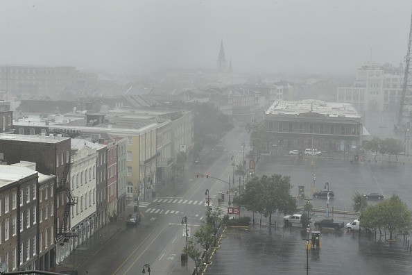
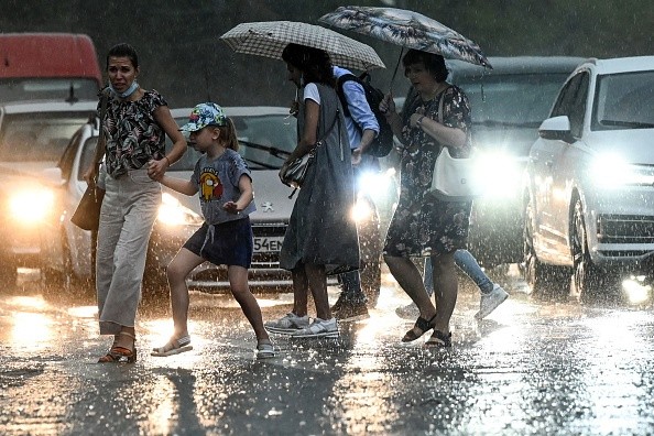
Even regions that would not be affected by dry weather might have difficulties. For example, La Niña is expected to bring wetter conditions to certain parts of the Northwest. However, because most of that region experienced a record-breaking fire season, powerful storms pouring rain and snow might cause mudslides and flooding because the soil cannot absorb the water. These impacts might be considerably more severe than average due to climate change's tendency to modify rainfall intensity, resulting in bursts of precipitation.
"Many times, when we talk about whether it was a rainy or dry year, we average the entire season," John Fasullo, a scientist at the National Center for Atmospheric Research, told the Guardian. "However, due to climate change, larger volumes of rainfall are delivered in shorter bursts."
For more news about making the environment sustainable, don't forget to follow Nature World News!
© 2025 NatureWorldNews.com All rights reserved. Do not reproduce without permission.


