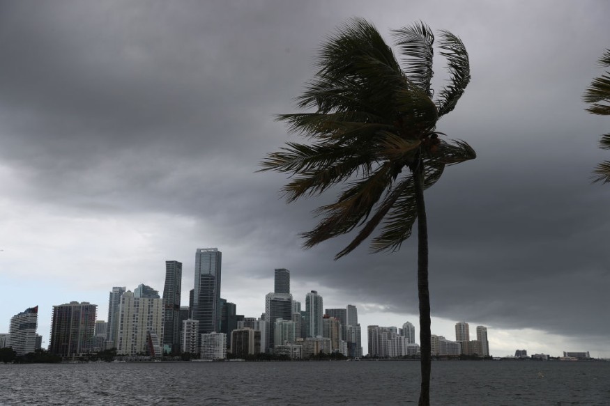
AccuWeather meteorologists are tracking an area of unstable weather off the Atlantic coast of the United States that may be named Wanda, the last name on the designated list for the 2021 Atlantic hurricane season.
"An area of low pressure continues to meander off the Carolina coast, posing the Atlantic basin's main tropical danger for the next few days," meteorologist Thomas Geiger said.
When the National Weather Service (NHC) dispatched an aircraft into it Sunday morning, it produced gale-force winds only 80 miles south of Cape Hatteras, North Carolina. As a result, this low pressure has been designated "92L" by the NHC.
"Due to southerly wind shear, the storms connected with this system are now disorganized and not very powerful," Geiger added.
Wind Shear

Vertical wind shear is the shift in direction and speed of winds as they rise in altitude, important for tropical storm development. When it's present, a tropical system's top can be blown hundreds of miles downstream, causing the storm to become unbalanced or slanted.
The storm is running out of time to develop before it comes toward land, according to Geiger. When tropical entities move close or across the land, friction can cause them to lose wind intensity, stifling development. Over warm water, tropical systems strengthen the fastest.
Read also: Meteorologists Predicts that the Atlantic Hurricane Season Will Inevitably Be More Aggressive
Weather Development
Despite these barriers, analysts believe there is still a limited window of opportunity for development, albeit it is unlikely to be tropical in character.
"Given that it is displaying some larger-scale characteristics, it will most likely be classed as subtropical and given the name Wanda, which would round out the 2021 name list," Geiger added.
Only twice previously has the name list been completed, once in 2005 and again in 2020, when the seasons were more busy than average. In addition, the National Hurricane Center has previously utilized the Greek alphabet to name additional storms, but this year might differ.
"If another storm develops this year, it will be the third time that all of the names have been used, and it will be the first time that the new additional name list is utilized," Geiger added.
Unstable Weather

Stormy and unstable weather is expected up and down the East coast this week, regardless of whether this storm gets named Wanda or not.
"Heavy rain will fall in eastern North Carolina in amounts ranging from 2 to 4 inches, causing flooding in some areas," Geiger warned.
Along the coast, high onshore winds are expected, causing coastal flooding. According to Geiger, there may be up to two feet of water above ground level in the areas most vulnerable to this effect. In addition, high tides might exacerbate flooding.
Much of the Atlantic Coast has been issued with coastal flood watches, warnings, statements, and advisories. Georgetown, South Carolina; Kitty Hawk, North Carolina; Chincoteague, Virginia; Ocean City, Maryland; and New Haven, Connecticut are all under coastal flood warnings. In addition, coastal flood watches and warnings are in place for much of coastal Virginia, parts of the New Jersey coast, and parts of Delaware, with a seaside flood statement in effect for Boston.
NWS Warnings
A Coastal Flood Warning is in effect for the coastal counties of DE and NJ. A Coastal Flood Advisory is in effect for locations along far upper Delaware Bay and the tidal Delaware River. #njwx #dewx #pawx pic.twitter.com/6gIIEiKWJI
— NWS Mount Holly (@NWS_MountHolly) October 10, 2021
The National Weather Service (NWS) issued these warnings, warning motorists of partial or complete road closures, particularly on the most susceptible roads. Many roads may become inaccessible, and structures may be damaged, according to the warnings. In addition, people are advised not to leave their vehicles in areas prone to tidal flooding and to avoid driving through floodwaters.
Dangerous rip currents will also be a problem throughout the coast, so beachgoers should stay out of the water for the time being and observe all local ocean safety recommendations.
As the low-pressure system neared, rain and showers swept throughout sections of the Northeast and mid-Atlantic on Sunday, from North Carolina to Massachusetts.
Showers will continue to be patchy on Monday, with the shoreline containing them from the Jersey Shore southward. The rest of the country will be mostly dry. This sporadic rain pattern may persist throughout the coast into early next week.
For more climate and weather updates, don't forget to follow Nature World News!
© 2025 NatureWorldNews.com All rights reserved. Do not reproduce without permission.


