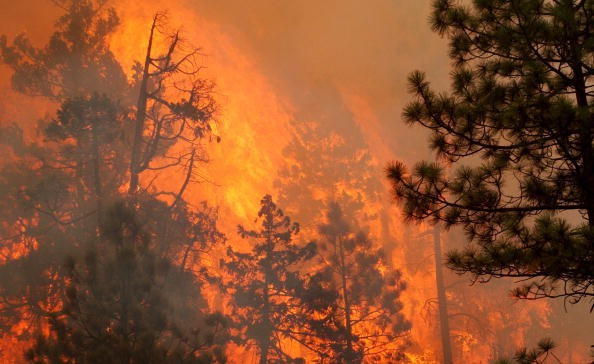
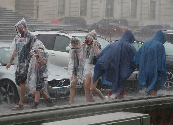
Close to 20 fires are active in Washington and Oregon, but rainfall could bring a little relief in the region soon. An atmospheric river event is developing and will bring remarkable moisture and rain to the region.

Potential Rainfall
A plume of moisture coming from the Pacific Ocean and bringing moisture and rain along to the west coast is called an atmospheric river. California is expected to witness little rain, but winds following the storm system would not favor firefighters trying to control some of the countries largest wildfires.
During the next seven days, the Weather Prediction Center (WPC) is predicting about 7 inches of rain across a number of high elevation areas in the Pacific Northwest.
The Center for Western weather and water extremes said: "While early season ARs (atmospheric rivers) tend to produce less precipitation than their mid-winter counterparts, any precipitation that these two ARs produce will bring much needed relief to the numerous active wildfires and drought conditions in the Pacific Northwest."
Let's hope this is similar to the case for the more than 600-thousand acres currently blazing in active fires between both states.
Also Read : Over 80 Percent of All Wildfires in the Past 20 Years Were Caused by Humans, Study Shows
Wildfire
The possibility of rain greatly increases for Friday and Saturday. In the mountains, Seattle is expecting about two to four inches of rain, and for the lower elevations, the region is expecting an inch or two.
It is the same for regions farther south. Several inches of rainfall could take place across Oregon and higher elevations could see higher amounts.
Farther south won't experience much impact from the bulk of the rainfall. California is experiencing one of its worst wildfire seasons ever recorded in modern history, with over 7,000 fires this year that have consumed almost 2-million acres.
Chief Jesse Alexander is in the company of Yuba City Fire Department and has been trying to control northern California's Dixie Fire, among other active ones, and says he is not convinced the little amount of rain the region will see will chage the intensity of the fire they are dealing with.

La Nina
Alexander said for real difference to be remarkable the rain has to be substantial. He is also worried that if the wind direction should shift, together with the approaching atmospheric river the fires will worsen.
Alexander said: "The gusty winds could enhance wildfire activity and there could also be more lightning without much rain. The rain may help on some of the fires by raising the relative humidity levels and providing a little moisture, but five days later, we will be in the same situation."
Also, 50 mph wind gusts are predicted for much of the region.
In the next few months, La Nina is predicted to come back and this means the likelihood for more atmospheric rivers similar to these in the fall.
If this becomes the case, it could aid the wildfire situation, and also the extreme drought for portions of the west.
Related Article : Climate Change Could Increase the Risk of Extreme Rainfall
For more news, updates about wildfires and similar topics don't forget to follow Nature World News!
© 2025 NatureWorldNews.com All rights reserved. Do not reproduce without permission.


