Meteorologists warn that a tropical disturbance east of Florida still has the potential to develop into the Atlantic season's second tropical depression by early Monday. Still, there will be some consequences regardless of tropical development.
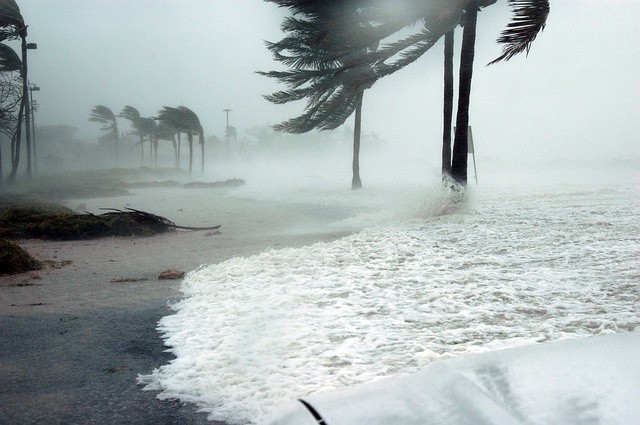
As of Sunday afternoon, forecasts have reduced the likelihood of tropical depression and storm development off the Atlantic coast of Florida to around 30%.
"The development window for an area of unsettled weather that has been rotating east of Florida since Friday is closing," senior meteorologists Dan Pydynowski said.
Over northeastern Florida, steering winds are expected to drive the core of the feeble circulation ashore late Sunday night or early Monday. The risk will significantly decrease after the core goes inland.
The Gulf Stream, which runs just east of Florida, is warm enough to support the formation of a tropical cyclone before landfall. The water temperature in this location is in the low to mid-eighties Fahrenheit.
Thunderstorm Activity
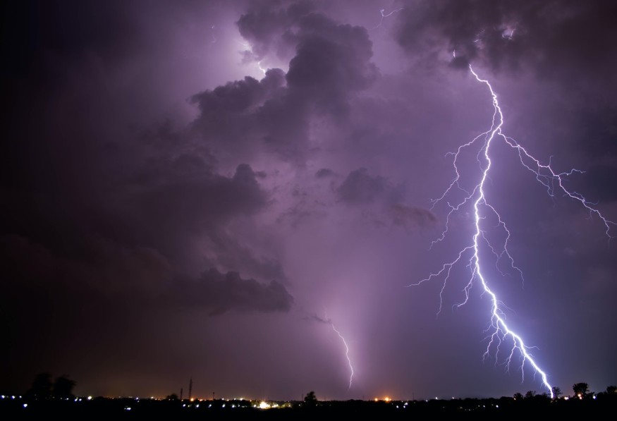
Much of the thunderstorm activity that rumbled through the Florida Peninsula on Friday and Friday night had been driven away by a flow of dry air from the north. That dry flow of air, along with wind shear, continued to stymie the development of the disturbance close offshore on Sunday.
"It looks that northerly wind shear will convert to easterly wind shear by Monday," Pydynowski added, "so you end up trading one limiting factor for another."
Wind Shear Direction
Wind shear shifts in the direction and speed of breezes as they travel across the horizon at increasing heights in the atmosphere and just above the sea surface. Strong wind shear can occasionally prevent tropical systems from developing or weaken existing tropical storms and hurricanes.
"Regardless of any tropical development, this change in steering breezes and wind shear will tend to bring more moist air in across Florida, as well as southeastern Georgia and coastal South Carolina on Monday and Tuesday, and that will bring an uptick in shower and thunderstorm activity," Pydnowski said.
Extreme Weather Activity
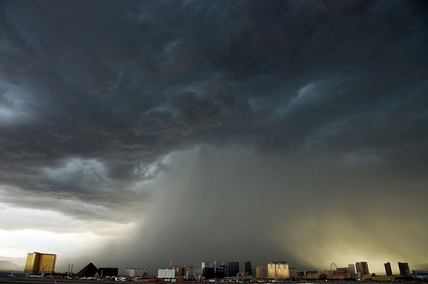
Even by southern US standards, some of the storms may be powerful, with high wind gusts and heavy downpours that can cause flash floods. Over the Florida Peninsula and southeastern Georgia, the possibility of a few waterspouts, as well as a few tornadoes, exists.
If it succeeds in overcoming the obstacles and becoming a tropical storm, it will be called Fred, which is the next name on the list of tropical storms for the 2021 Atlantic hurricane season. In 2009 and 2015, the name Fred was used. Florence, a hurricane, was designated as an "F" storm after wreaking havoc on the North Carolina coast in 2018 with strong winds and widespread floods.
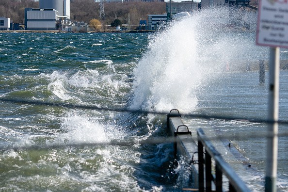
Even though the disturbance's circulation has been modest so far, it is expected to produce strong waves and surf along and off the southern Atlantic coast through Tuesday.
Rip currents, which are virtually always present, are expected to be stronger and more frequent than usual, posing a threat to swimmers from Florida's east coast to South Carolina.
A large region of unsettled weather may persist over the southern Atlantic coast for a while this week, posing a meager chance of development.
A feeble circulation in the middle layer of the atmosphere above the central Gulf of Mexico is expected to move westward this week and slowly spin down to the surface.
Developing Storms
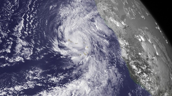
At this moment, the chance of development is relatively low since steering winds will push this feature inland across southern Texas or northern Mexico by midweek. However, following a calm that began on Friday and extended over the weekend, an upsurge in shower and thunderstorm activity is expected from late Tuesday to Wednesday.
Conditions were expected to stay calm elsewhere in the Atlantic over the latter days of July. However, according to climatology, that is likely to change since there is a large increase in tropical activity throughout August.
Typhoon Season
In the Atlantic basin, there have been five named systems so far in 2021. Tropical storms Claudette, Danny, and Elsa, made landfall in or impacted the southeastern United States. Elsa was the only storm to attain hurricane strength this year, reaching Category 1 classification over the eastern Caribbean and then again just west of Florida.
For 2021, meteorologists predict 16-20 named tropical storms in the Atlantic, with more landfalls expected in the United States.
After a pause in tropical activity in the middle of the summer, an increase in named systems is expected at the end of the summer and fall. However, having five named systems by early July, as Elsa did, is highly uncommon.
The fifth named tropical cyclone in the Atlantic is not expected to form until the end of August. As of July 23, there were eight named storms in the record-breaking 2020 Atlantic hurricane season, which has 30 named systems. The 2021 season kept up until early July, but it has since dropped below last year's record pace.
For more climate and weather updates, don't forget to follow Nature World News!
© 2025 NatureWorldNews.com All rights reserved. Do not reproduce without permission.


