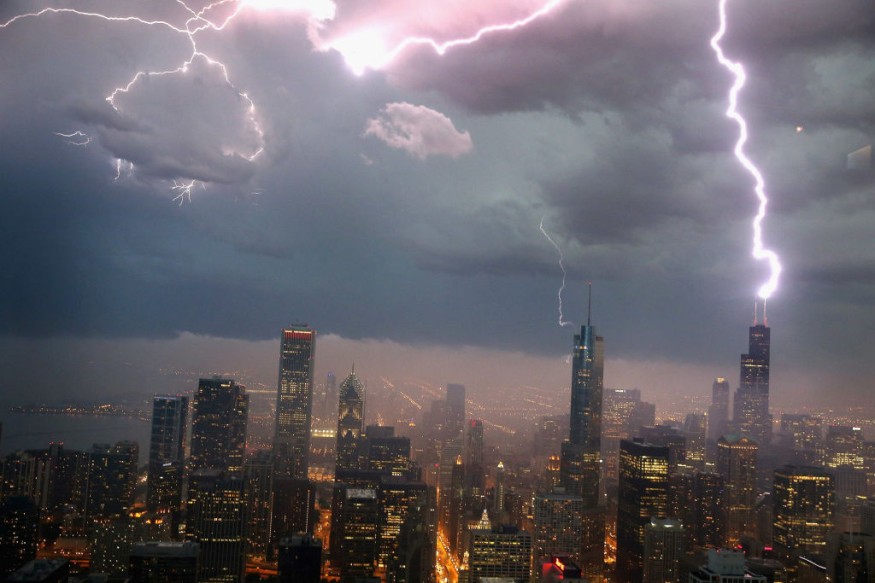
Even before a group of tornadoes hit a squall line, including an EF-3 tornado in the suburbs of Naperville, west of Chicago, Illinois last June 20, 2021, satellite images were able to collect cloud temperature data from above which predicted the destructive weather 45 minutes earlier.
The severe weather event, consisted of damaging winds and three tornadoes, increased intensely toward and into the Chicago metropolitan area, and impacted significantly in southwest suburbs of Naperville, Woodridge, Darien, Burr Ridge, and Willow Springs. The EF-3 tornado damaged 230 homes, plummeted thousands of trees, and injured at least 11 people.

The data from the Advanced Baseline Imager (ABI) on the GOES-R satellite showed plumes of warm air called 'above anvil cirrus plumes' (AACPs) which exhibited 'unique temperature and reflectance patterns' in satellite imagery. These plumes give early clues of severe weather outbreaks and have been studied for more than 35 years due to their significance.
Kristopher Bedka of NASA's Langley Research Center led a study to address uncertainties regarding production of AACPs during storms and how it can assist with severe weather warning.
The Naperville Event
"Notice the plumes of warm air downwind of updrafts-the cold overshooting cloud tops. Those are what we call 'above-anvil cirrus plumes' (AACPs)-cirrus clouds that were injected into the stratosphere," Bedka said.
Thunderstorms are typically generated in the boundary between the troposphere and the stratosphere called the tropopause. When strong storms reach this boundary, its top flattens out and gives an anvil-like appearance. When intense updrafts penetrate the tropopause and draws cirrus cloud tops into the stratosphere, that is when above-anvil cirrus plumes are formed.
As air in the stratosphere increases with altitude, these cirrus clouds get warmer than the anvil clouds. In a satellite image, warmer air is represented in red color and cooler air is blue.
AACP Guarantee
One thing the researchers were looking into was the reason why some storms produce AACPs but other nearby storms do not. According to Bedka, detecting an AACP will not guarantee cirrus signs of tornadoes or other severe weather like what they witnessed in Naperville, but studying previous events similar to it may provide more insight and evidence that observing cirrus plumes are more significant than we thought.
"Our analysis of more than 400 of these events observed by either GOES-14 or GOES-16 showed about three-quarters of the time these cirrus plumes appeared 10 minutes or more before the most severe weather hits," Bedka confirmed.
In addition, recognition of AACPs beforehand can provide a 'comparable warning lead time to that provided by a forecaster'. With that given, communities and affected regions will have prepared mitigation plans and the like before a severe storm can even hit.
More importantly, Bedka noted that tracking and identifying tornado predictions and early signs of severe weather using AACP observation would extremely help save and protect lives, communities, and properties.
© 2025 NatureWorldNews.com All rights reserved. Do not reproduce without permission.


