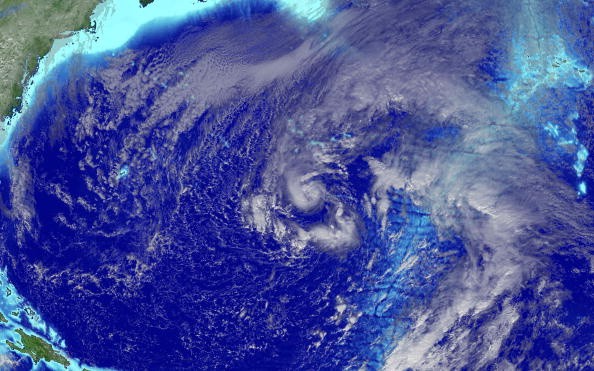
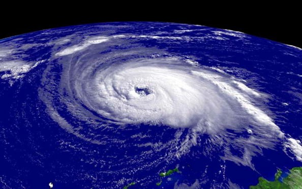
While tropical activity in the Atlantic has slowed to a halt for the time being following Claudette's tour of the southeast, Tropical Storm Enrique has formed over the eastern Pacific. According to AccuWeather, Enrique will be the first storm of the 2021 season in either basin.

Tropical Storm Enrique

Enrique was upgraded to a tropical storm early Friday morning, becoming the fifth named system in the eastern Pacific basin, and additional development is expected throughout the weekend. Enrique had maximum sustained winds of 45 mph with stronger gusts at 8 a.m. PDT Friday and was heading west-northwest at 9 mph.
According to Senior Meteorologist Rob Miller, the tropical storm will continue to travel west to the northwest through next week. It will be in an atmosphere favorable to intensification in the short term.
Trajectory
The system will travel northwest over warm water with no wind shear. Warm water is required for tropical cyclones to generate towering thunderstorms. The falling barometric pressure is caused by the rising air. The mass of storms surrounding a system continues to spin faster and faster as air rushes in from the sides.
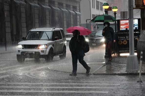
From Acapulco to Puerto Vallarta, Mexico, areas in danger of localized floods and mudslides will be the most vulnerable. Tropical Storm Dolores dumped up to 15.75 inches (400 millimeters) of rain and strong gusts on parts of this area last week. Dolores developed on June 18 and dissipated on June 20 after traveling inland towards the Mexican state borders of Michoacán and Colima.
Rain Levels

Rainfall totals of 4-8 inches (100-230 millimeters) are possible, with a 15-inch (380-millimeter) AccuWeather Local StormMax.
"Dangerous waves will continue to affect southwest Mexico's coastal regions throughout next week," Miller warned.
Otherwise, a few gusts of up to 60 mph (97 km/h) are possible along the coast, which is strong enough to break tree limbs and cause scattered power outages.
There's a potential that some rainfall will be carried far enough north to reach parts of the southwest United States later next week. That potential, though, would be diminished if Enrique and his band broke up before reaching the tip of Baja California, Mexico.
Forecasts 14-18 named storms in the eastern Pacific this season, with six to ten of them projected to become hurricanes.
Atlantic Waters
For the most part, the Atlantic basin's waters have become calm.
At midweek, a tropical disturbance known as a tropical wave moved westward off the coast of Africa. Although meteorologists will continue to watch and follow this feature as it moves west, they believe circumstances are not currently favorable to development.
"In the path of this disturbance, there is some dry air, chilly water, and moderate wind shear, which will likely impede development through this weekend," Miller said.
Over the next five days, the feature has a low chance of becoming a tropical depression or storm.
However, next week's ocean water temperatures may be too cold to allow for much organization and growth.
Heavy Storm

If the system holds intact, it will move near the Lesser Antilles around the middle of next week, bringing heavy rain and strong winds to the region.
Further west, a large region of unsettled weather, which this time of year is renowned for producing clusters of showers and thunderstorms, is expected to remain around Central America and southern Mexico. This time of year, a gyre, or large area of low barometric pressure, can cause slow tropical growth.
Last week, Claudette began as a Potential Tropical Cyclone in seas off the western Gulf coast. Claudette was not officially designated as a tropical storm until it made landfall in southeastern Louisiana on Saturday morning. Claudette killed at least 14 individuals in the United States, despite her frailty.
Storm Warnings
Tropical Storm Warning In mid-May, Ana developed and dissipated over the central Atlantic, near Bermuda. During mid-June, Tropical Storm Bill formed and dissipated in seas just off the Atlantic coast.
Meteorologists anticipate an above-average Atlantic hurricane season, with 16-20 named storms, seven to ten of which are expected to become hurricanes. There have been three tropical storms in the Atlantic basin so far in 2021.
For more climate and weather updates, don't forget to follow Nature World News!
© 2025 NatureWorldNews.com All rights reserved. Do not reproduce without permission.


