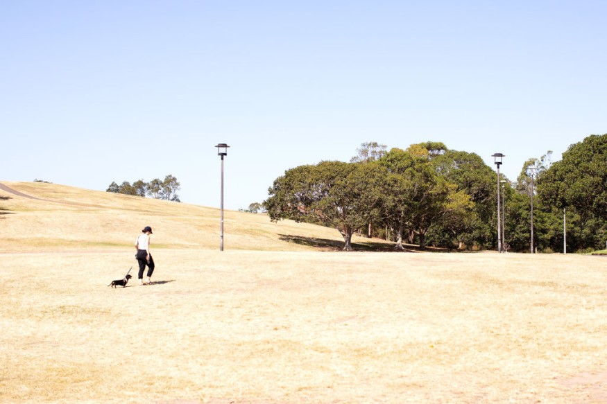
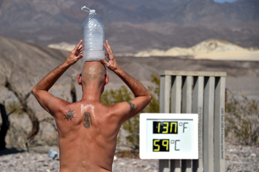
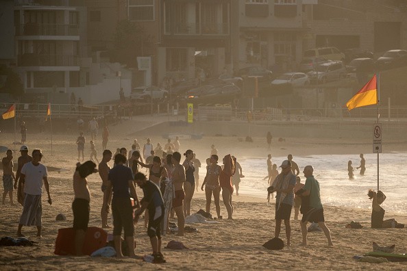
The West hasn't completely cooled off, but it has gotten a break from the scorching heat that has dried out reservoirs, local hydropower and wreaked havoc on the megadrought-ravaged area. All good(ish) things must, unfortunately, come to an end.

Record Breaking and Dangerous Heatwave

According to the National Weather Service, a "Record-Breaking and Dangerous Heatwave" is expected to arrive this weekend and early next week. Weather models are also converging on the topic of scorching heat. We're not just talking about a few daily records collapsing here and there if the projections come true. We're talking about a historic heat wave that threatens to shatter all-time records from Washington to California, as well as sections of Canada.
High pressure is forecast to come in and park itself over the region in the coming days, in what is becoming an all-too-familiar pattern for residents in the western half of the United States. This will usher in a brighter sky and allow the heat to build up. Temperatures might be substantially above normal from the Yukon to Southern California by Sunday. The Pacific Northwest will be the hotspot, with temperatures perhaps reaching 40 degrees Fahrenheit (22 degrees Celsius) above average.
Related Article : Despite Temperature Spikes, American Northeast May Experience Some Cooling Due to Stormy Weather
Forecast Models
The Euro and GFS weather models, which are essentially the gold standards for forecasters, concur that the size of this storm will be huge. While there may be minor variations of a few degrees up or down, the overall alignment is usually a warning that something extremely uncommon and terrible will happen. Portland breaking 110 degrees Fahrenheit (43 degrees Celsius), a temperature the city has never achieved, is one of the most alarming statistics coming out of the models.
Models, on the other hand, are simply one tool in the toolkit of weather forecasters. Local weather trends and other factors that aren't reflected in models might assist in fine-tuning the prediction. Despite those changes, the National Weather Service is still predicting a flurry of new records, including Portland's all-time high of 107 degrees Fahrenheit (42 degrees Celsius). "Oppressive heat," according to the Portland office. Meanwhile, the Seattle office is already tweeting visuals of current and forecasted heat records, which you can use as a sad extreme heat bingo board. Because weather doesn't stop at the border, British Columbia's record-breaking heat will continue. Forecasters predict that the province of British Columbia will see its hottest June on record.
Temperature Spikes

Overnight temperatures will continue to rise over the area, and all-time high low temperatures may be surpassed. This is especially concerning because the evening normally provides a respite. The relentlessness of the heat, combined with a shortage of cooling choices, may unleash a wave of heat-related diseases in an area where air conditioning isn't as ubiquitous as, say, Southern California.
In an ironic twist, smoke from wildfires triggered by the scorching temperatures presently ravaging the West is obscuring the sun, potentially preventing records from being broken. Fires are already blazing across the region, and a significant section of the West is under a red flag warning due to thunderstorms and gusts of up to 60 miles per hour (97 kph). Smoke may be just as hazardous to public (and planetary) health as heat, so I'm not sure I'd call it a meteorological triumph.
Heat Wave and Climate Catastrophe

The heat wave is a sign of the climate catastrophe, which is increasing the frequency and intensity of extremes like this. It also demonstrates how the climate catastrophe exacerbates existing issues. The West is experiencing a devastating megadrought, which has been exacerbated by the unrelenting heat. The drought has prompted Lake Mead to reach record lows, farmers to rip out water-intensive crops, and construction in at least one community to be slowed.
"We have human-caused climate change, which is turning a mild drought into a super megadrought," Stewart Cohen, a retired climatologist with Environment and Climate Change Canada who worked for 35 years, told the CBC. "Gasoline emissions have resulted in a warmer environment. Droughts are becoming worse, the weather is getting dryer, and heat waves are getting harsher."
But this is merely the beginning. Heat and megadrought are projected to become more common as a result of climate change this century. The records set this weekend and early next week will very certainly not be the last. But, if what we're witnessing in the West is any indicator, we still have a long way to go to guarantee that our water systems, towns, and forests are prepared for what's next.
For more climate and weather updates, don't forget to follow Nature World News!
© 2025 NatureWorldNews.com All rights reserved. Do not reproduce without permission.


