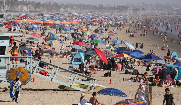
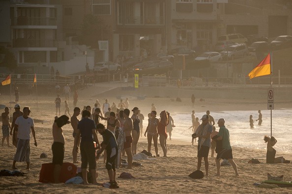
Much of the western United States has experienced its share of extreme heat already, just few days into summer. AccuWeather forecasters say the pattern causing searing heat is unlikely to change all that much in weeks to the come.

High Temperature Records
However, hot air will shift its concentration, with the worst of the heat, comparable to average, anticipated to build into the Northwest for a time this weekend into the beginning of next week. Portion of the Northwest got some taste of the extreme heat Monday, which was the first full day of summer.
In western Washington and Oregon, several day-to-day high temperature records were set or challenged. The temperature in Portland, Oregon, rapidly increased to 97 degrees Fahrenheit Monday and broke the past record of 96 set in 1992. Meanwhile, the temperature shattered the past record of 91 set in 1938 with a high of 95 in Vancouver, Washington.
Seattle just missed its initial ninety-degree reading of the season Monday, but there is a possibility that people in the city will not have much longer to wait to reach that mark this summer.
Weak Storm System
A little cooldown will reduce temperatures back to 5-10 degrees above average into Thursday, a movement in the jet stream will turn the atmospheric furnace on high spanning Friday, Saturday and Sunday.
This time of year average highs range from close to 70 in northwestern Washington to the mid-70s along the Oregon coast and eastern Washington to almost 80 along in far eastern Oregon along the Idaho border.
High temperatures in Seattle will be in the upper 70s to almost 80 Wednesday and Thursday, while Portland's temperatures will reach in the mid-80s into Thursday. It will be a tad warmer, with highs recording in the upper 80s in Spokane the next couple of days. As a weak storm system gradually pushes inland from the Pacific Ocean into Thursday, temperatures will be temporarily held back in coastal regions of the Northwest.

Triple-digit Temperatures
AccuWeather Meteorologist Brandon Buckingham said: "That same weak storm with its little amount of moisture may be adequate to produce mainly dry thunderstorms that could set spotty wildfires off because of sporadic lightning strikes, mostly in Oregon and Northern California through midweek."
The weak storm system and an associated dip in the jet stream will set up shop over the interior Southwest towards the ending of this week and this weekend. In that situation, small edge may be taken off the heat in the Southwest, where triple-digit temperatures have been usual with some record daily highs dropping by the wayside this June.
With the forecast of jet stream to bow southward over the Southwest, temperatures there may be subdued just a little bit. For the first time since June 11, Las Vegas may record highs lesser than 100 degrees on Wednesday and Thursday.
Related Article: Californians, Texans Encouraged to Conserve Electricity as Intense Heat Waves May Cause Power Shortages
For more news, updates about heat waves and similar topics don't forget to follow Nature World News!
© 2025 NatureWorldNews.com All rights reserved. Do not reproduce without permission.


