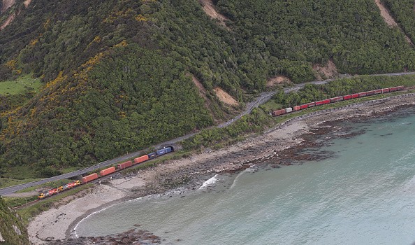
Pressure is piling up along one of the most active fault lines in the world and New Zealand is in a race to be prepared.

The Alpine Fault
The Alpine Fault runs along the South Island of the country and it has a history of unexpected movements. Researchers can study the lakes and old-growth forests in the foothills of the Southern Alps and become knowledgeable about what's come before.
What they have discovered reveals a great earthquake, one of the biggest in the modern history of New Zealand, is due. In studying the Alpine Fault, researchers have made a timeline of its history and they are aware it makes very big shifts, on average, approximately every 300 years.
It's complicated science that dates the last magnitude-8 earthquake along the fault line to year 1717. Simple maths reveals to us it's been over 300 years since then. So, what type of earthquake is upcoming for the Alpine Fault? That's the question Jamie Howarth, a senior lecturer in physical geography at the Victoria University of Wellington and his team recently set out to answer.
Lake Paringa
The scientists developed the richest record yet of the history of Alpine Fault and discovered a pattern, one that assists them reliably predict what's to come. They gathered so much data from lake beds along the Alpine Fault - geological archives getting ready to be read. This strip of sediment is a specimen collected from Lake Paringa in the foothills of the Southern Alps.
The researchers drilled down six metres and collected a cross-section of the lake bed, disclosing a literal line-by-line snapshot of its history. Jamie said: "[It] gets us back a few thousand years into the past and then we can go through that record like a book, recognize those previous earthquakes and date them."
In this specimen, the red zones represent each great Alpine Fault earthquake back to the year 925AD.The powerful shaking in these events changed the form of the layers of sediment, making them collapse and blend together.

Earthquake-induced Landslides
The shaking also led to the destabilisation of material at the edge of the lake and brought about underwater landslides, again deforming the faultless layers - or lines - of sediment that would otherwise be there.
There is a rise in erosion because the sediment from the earthquake-induced landslides is conveyed to the lakes, following an earthquake. And proof of that is stored away in the natural record. An earthquake might just persist for a few minutes, but the geological impacts can last for decades.
This is just one important sample from one lake along the fault. This process was carried out again at various sites along the Alpine Fault to make a very rich picture of its history.
Related Article : Extreme Heat, Fluid Pressure Discovered at New Zealand's Most Hazardous Earthquake-Generating Fault
For more news, updates about earthquakes and similar topics don't forget to follow Nature World News!
© 2025 NatureWorldNews.com All rights reserved. Do not reproduce without permission.


