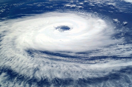
After barreling up the Arabian Sea in the Indian Ocean, a strong cyclonic storm known as Tauktae is forecast to make landfall in the Indian state of Gujarat.

In the Atlantic and East Pacific Ocean basins, it's the equivalent of a Category 3 hurricane, and sources suggest it may be the worst storm to strike western India in three decades.
Cyclone

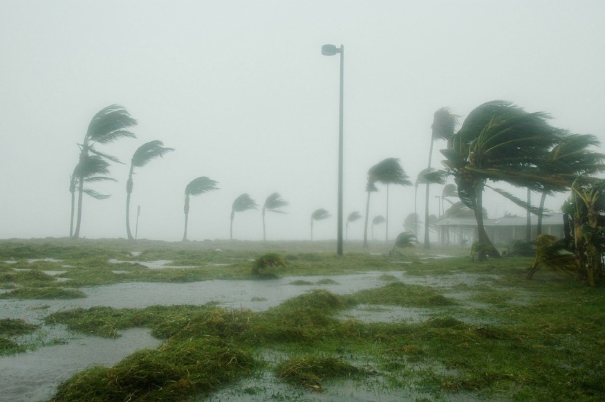
Low-pressure systems that emerge over warm tropical waters and have gale-force winds near the center are known as cyclones. Winds will travel hundreds of kilometers (miles) from the storm's center.
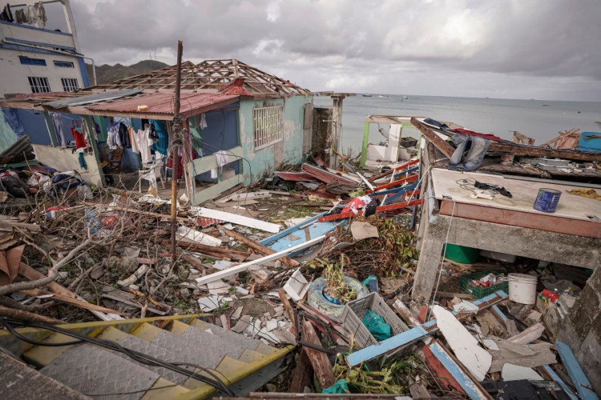
Since they absorb large amounts of precipitation, they often cause torrential rains and floods, resulting in significant loss of life and property damage.
If sustained winds of at least 119 kilometers per hour are reached, they are also known as hurricanes or typhoons, depending on where they occur in the country (74 miles per hour). According to NASA, tropical cyclones (hurricanes) are the strongest weather phenomena on Earth.
Affected by Climate Change

Oceans absorb over 90% of the heat generated by greenhouse gases, resulting in increased water temperatures.
Experts believe that when cyclones derive their energy from warm oceans, rising temperatures are causing more violent storms to occur.
"Now what's happening is that the Arabian Sea levels, the ocean's surface temperatures, are steadily warming," said climate scientist Roxy Mathew Koll of the Indian Institute of Tropical Meteorology.
Storm surges from cyclones may be exacerbated by the sea levels, making them even more dangerous and damaging.
Related Article : Texas Power Crisis Can Happen Everywhere Because of Climate Change
Storms in the Arabian Sea

According to scientists, the Arabian Sea has traditionally averaged two or three slow cyclones each year.
The Arabian Sea has also seen less extreme cyclones than the Bay of Bengal off India's east coast in the past. However, they say that rising water levels as a result of global warming are affecting this.
This is the first time since satellite reports began in India in 1980 that the Arabian Sea has seen four successive years of pre-monsoon cyclones.
"One of the reasons we're seeing more and more storms and cyclones in tropical areas, particularly in places like the Arabian Sea and elsewhere, is because of rapid ocean warming," Koll said.
"The Arabian Sea is one of the world's fastest warming ocean basins."
While cyclones are uncommon in Gujarat, they can be devastating and deadly. The deadliest year was 1998 when over 4,000 people perished.
Storm Surge

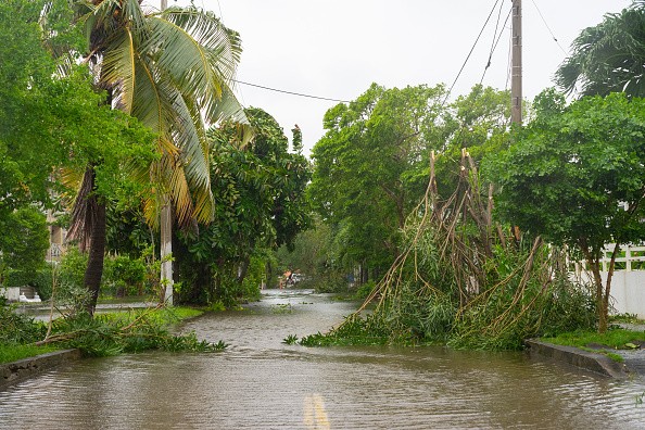
When cyclones make landfall, they will cause destructive storm surges, similar to a tsunami. They can be the most dangerous aspect of a cyclone, and wind speeds just have a limited effect on them.
Storm surge refers to rising tides caused by a storm, which result in a wall of water several meters higher than average tide levels.
Broad swells travel quicker than cyclones and can be seen up to 1,000 kilometers ahead of a big hurricane. The surge will reach inland for hundreds of kilometers, causing homes to be flooded and highways to become impassable.
Storm strength, forward direction, the duration of the storm, and the angle of approach to the coast are all variables that influence storm surge. The underlying features of the coast's soil, such as bays and estuaries, are also significant.
People have refused to evacuate in recent storms because they were unaware of the dangerous danger posed by the flood. Like what happened with Super Typhoon Haiyan in 2013, 7,350 people were killed or went missing 7,350 in the central Philippines, primarily due to the surge.
For more climate and weather updates, don't forget to follow Nature World News!
© 2025 NatureWorldNews.com All rights reserved. Do not reproduce without permission.


