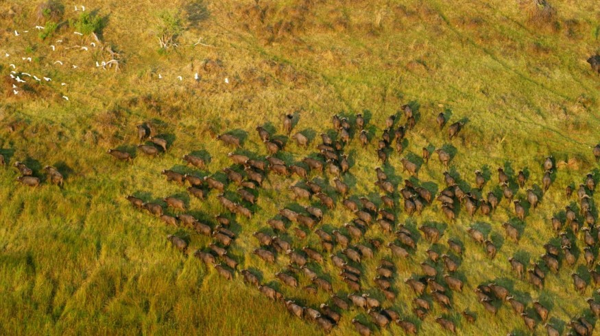
Wildlife activism, conservation, and preservation initiatives have greatly improved over the decades.
Modern methods are being streamlined to ensure that many endangered species whose population took a downturn are sure to live another day.
However, despite all the measures taken, many species are still endangered and at risk of extinction. To combat the possibility of going extinct, wildlife preservation scientists developed a new method to keep track of endangered species remotely. These conservationists employed the aid of satellite imaging.

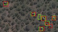
The system, which uses satellite images mixed with deep learning Artificial Intelligence (AI), has the same accuracy as manually counting the animals on the ground or low-flying airplanes or drones.
This new method could help the improvement of monitoring endangered species across many habitats around the world.
Researchers from the United Kingdom academic institutes, the University of Bath and University of Oxford, worked together to conceptualize and later on practice this project.
The joint academic voyage resulted in the creation of a computer algorithm that analyzes high-resolution images captured by various satellites to detect African elephants walking around the grasslands and forests of their natural habitats.
Monitoring African Elephants
The population of the African elephant has dwindled down and is facing a continuous rapid decline in the past century.
With only just 40,000 to 50,000 members of its species left in the wild, these numbers are a mere fraction of how many there were when the giant beasts dominated the African lands.
It will take a considerable amount of time to monitor these animals, especially when they are free-ranging in the wild. Aside from time-consuming, manual on the ground counting and airplane surveys are expensive.
Compared to the traditional methods, satellites collect over 1,900 square miles worth of images every few minutes.
Using satellites also speeds up the process while eliminating double-counting because of the computer algorithm that removes human error. Plus, it also cuts down on the logistics of cross monitoring populations among international borders.
Using very‐high‐resolution satellite imagery and deep learning to detect and count African elephants. "We need to know where the animals are and how many there are," she added.

Satellite Imaging
The British universities' attempt was not the first time scientists used satellite imaging to monitor wildlife populations.
However, the previous attempts were strictly limited to homogenous habitats and terrains. Tracking down whale populations in the ocean was easy using this method but counting elephants or other land creatures in diverse ecosystems was especially tricky for the previous means of monitoring.
But, with the current attempt, they could now monitor heterogeneous habitats like savannah and forests. It improved the old system's flaw where trees and other objects and terrains would hinder the satellite tracking.
"Satellite imagery resolution increases every couple of years, and with every increase, we will be able to see smaller things in greater detail," Isupova said, adding: "Other researchers have managed to detect black albatross nests against the snow. No doubt the contrast of black and white made it easier, but that doesn't change the fact that an albatross nest is one-eleventh the size of an elephant."
For more wildlife news, don't forget to follow Nature World News!
© 2025 NatureWorldNews.com All rights reserved. Do not reproduce without permission.


