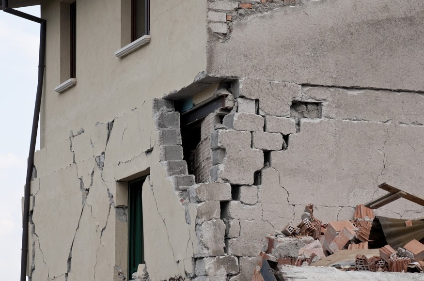
A new study into the Portland Gales Creek Fault revealed that the fault could produce a major earthquake in the region of a magnitude 7.1. to 7.4, which could damage properties and potentially threaten lives in the Portland metro region. Researchers assured that this major earthquake is not likely to happen very soon.
Portland Gales Creek Fault
The Gales Creek fault, which is located 22 miles west of Portland, indicates that
major earthquakes ruptured three times in the last 9,000 years.
The Gales Creek fault rarely produces a big earthquake: it recurs every 4,000 years. For now, there is no evidence that the fault is currently at a high risk of rupture.
However, there is a need to study other faults near the area for signs of relatively recent earthquakes to understand the dangers that these faults pose to Portland and other places in Oregon.
According to Alison Horst of the Washington State Department of Resources, "Many faults in the region are of interest based on their proximity to population centers.
Portland is located in the Cascadia subduction zone, where Juan de Fuca tectonic plate is diving beneath the North American plate. The subduction of the plate causes earthquakes and volcanic activities. Considered as a forearc fault, it is found in a spot where plates converge and the volcanic chain link to the subduction zone.
Gales Creek fault runs 45 miles to the northwestern direction beneath the lush, forested area of the Coast Range mountains north of Willamette River. The forest vegetation makes seeing the evidence of the past earthquakes on the fault challenging. These pieces of evidence include cliff-like scarps that develop when the Earth's crusts break.
READ: Researchers Warn of Unprecedented Mega Tsunami if Alaska Ice Melt Occurs
Lidar Technology for Mapping
To map the fault, a technology named light detection and ranging (lidar) was used, and it revealed that the fault had fingerprints of past quakes.
The technology maximizes pulses sent from a drone or airplane to detect topography changes, virtually ignoring obstructions like forest vegetation that this particular fault is covered.
Paths of the stream were erased as if it has suddenly moved.
Tracing Ancient Earthquakes
.The study team, led by Alison Horst, dug trenches up to 4.9. feet using shovels and backhoe to trace the history of the Gales Creek Fault. Layers of sediment deposited over thousands of years included dark, charcoal-rich soil from floods, which happened long ago was revealed. The broken parts of these layers were a testament to past earthquakes. The researchers used carbon dating, which showed the decay rate of radioactive forms of carbon to provide information when the layers date back.
READ ALSO: Milpitas and San Francisco Bay Area Experience Tremors from Twin Earthquakes
The study findings also revealed three earthquakes that were significant enough to disturb the Earth's surface on the fault. The oldest quake dated back 8,800 years ago, then 4,200 years ago, and the most recent was about 1000 years ago. The study team estimates that a major earthquake happens every 4,000 years on the Gales Creek fault.
From the length of the fault and the researcher's calculations, the study team believes that if the Gales Creek fault were to slip today, a magnitude 7.1 to 7.4 earthquake would be created, although there is no risk that the entire fault will rupture soon.
The researchers note that the most recent earthquake in Portland was a magnitude 5.7 earthquake in March 1993, which caused damages worth $30 million.
Horst said they would be studying other faults in the region for signs of ancient earthquakes. Knowing the earthquake's history in other faults surrounding the Gale Creek Fault would show connections between faults and better understand major earthquake hazards around Portland.
READ NEXT: Magnitude 4.2 Earthquake Shakes Istanbul Area
Check out more news and information on Earthquakes on Nature World News.
© 2025 NatureWorldNews.com All rights reserved. Do not reproduce without permission.


