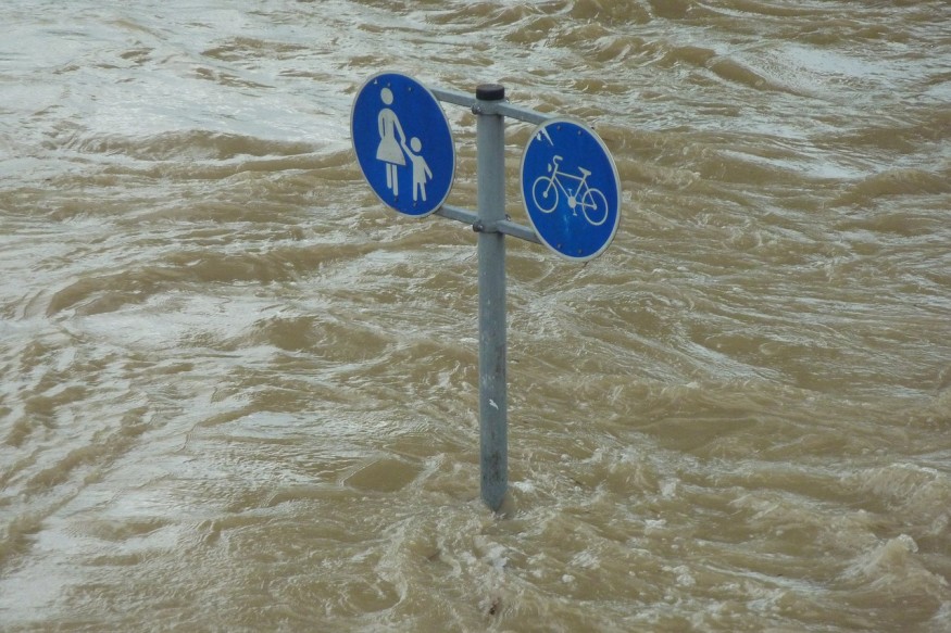
Coastal communities of New South Wales, including Sydney, are warned to brace for heavy rain and flash floods next week as meteorologists predict an east coast low, the strong low-pressure system that forms on or near the east coast of Australia.
East coast lows have earned the reputation of being particularly dangerous as it often stays along with the coastal areas, leading to prolonged strong winds, heavy rainfall, large swells along rivers, and high tides.
In the past, east coast lows have proven to have a devastating impact on the New South Wales Coast, Forecaster Adam Morgan warned. The last recorded east coast low was in June 2016, which claimed the lives of five people. Heavy rains have caused coastal erosion than that the devastation was felt from Queensland to Tasmania.
The NSW State Emergency Service (SES) has issued a warning to people in several large population centers to be vigilant for thunderstorms, which are expected to start early on Sunday and will last until next week.
The Bureau of Meteorology predicts that Sydney will have as much as 45 millimeters of rainfall on Monday, and it will rise to 70 millimeters of rain on Tuesday, and 20 millimeters on Wednesday.
Newcastle will have as much as 60,70 and 20 millimeters from Mondays to Wednesdays, while Wollongong will have as much as 40, 80, and 25 millimeters for the three successive days.
As expected of east coast low, this system will develop "somewhere between the Mid-North Coast and South Coast," and intense winds at 50 knots (92.6 km/h), heavy rains, flooding, and dangerous surf conditions are predicted on Sunday until Wednesday, SES warned.
Illawarra Regions and South Coast are expected to experience the worst of the weather, such as more torrential rainfall and gale-force wind early on Monday, Helen Kirkup, the forecaster of Bureau of Meteorology (BOM) reported.
"Winds may be strong enough to bring down trees and powerlines, and beach conditions will be dangerous right along the coast,' Forecaster Morgan warned.
According to Tony Day from SES, people should prepare for flash floods as the weather system is expected to be unpredictable. If the east coast low does not develop, flooding, coastal swelling, and strong winds are still possible.
Day said that emergency response for severe weather events such as this is complicated by measures to curb the spread of coronavirus.
Day advised that should there be heavy rains, avoid all non-essential travels, and never drive, ride or walk through floodwaters.
NSW SES spokesperson Stephanie Heard raised concerns that as it is school holidays, people tend to travel. The spokesperson reiterated the advice to take it easy on the road.
The Resilient NSW also posted a tweet indicating a five-step plan for residents who might be affected by the looming east coast low:
1. Know your risks
2. Plan now
3. Get your home ready
4. Beware and follow NSW SES updates
5. Look out for each other
Residents advised to secure their properties and clean their roofs.
The tweet also advised residents to call phone 132 500 for help in storms and floods.
© 2025 NatureWorldNews.com All rights reserved. Do not reproduce without permission.


