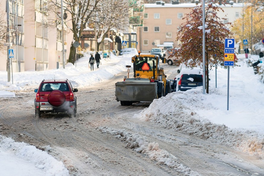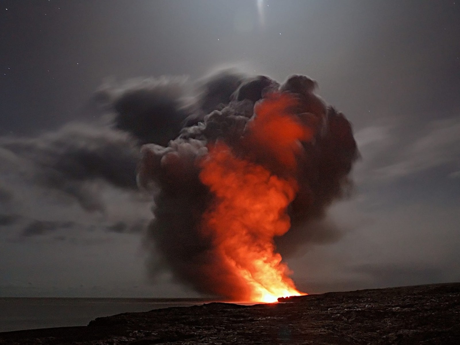
A number of travelers will be dealing with a series of storms throughout the country that would add to the holiday stress as Thanksgiving week starts.
Winter storm started lashing the Northeast and Eastern parts of the country on Sunday. Another one will hit the Midwest on Tuesday. The third one would be moving through the West on Wednesday.
Before preparing for a trip to your grandma's home this weekend, here is the forecast - though the weather is subject to change over the next few days.
Thanksgiving holiday travel weather: part II. Wed/Thu: heavy mountain snow and lower elev rains - West U.S., windy w/ snow north and rain east on Wed -East U.S. Fri/Sat: snow, and potential for blowing snow - Upper Midwest/Grt Lakes, rain - S/Cntrl Plains to Northeast U.S. pic.twitter.com/BvvpgcuASE — National Weather Service (@NWS) November 24, 2019
Storms continue across the Eastern US
Freezing winds and rain engulfed the parts of the Northeast on Sunday, yielding the snow in some areas as the day progressed.
A storm system brought heavy rain to various cities in the East Sunday from Philadelphia, New York, and Boston. Heavy snow across northern New England to Northern Maine is also expected.
According to the National Weather System (NWS), heavy snow was falling around noontime Sunday in Philadelphia. NWS also predicted up to seven inches of snow in Portland, Maine.
According to Portland NWS, travel could be very challenging as heavy snow and would lead to snow-covered roads. "Heavy, wet snow may also prompt to downed tree limbs and scattered power outages," wrote on its website.
The National Weather Service said the rain would move out of the Northeastern states of the country by Monday morning - but snow will still persist.
The state weather service added a winter storm might affect the holiday travel with heavy snow possible over the West Coast's Sierra. Loads of rainfall are likely for Southern California beginning Tuesday.
️️ Heavy mountain #snow will be likely Tuesday night - Wednesday. 2 to 3 FEET of snow are possible above 3000-3500 feet. ️Travel will be very difficult. Adjust your #holiday travel plans accordingly! #cawx #Thanksgiving pic.twitter.com/19zR9zgZzG — NWS Sacramento (@NWSSacramento) November 24, 2019
NWS added heavy mountain snow is also expected in Sacramento, California starting Tuesday night. A winter storm watch is in effect in the state from Tuesday morning until late Thursday night.
Snow to hit Midwest
The weather service said a cold front would move east from the Pacific to the Northern Plains over the weekend. The front will be in the Upper Great Lakes and all over the Midwest by Monday.
The Central Plains to the Upper Great Lakes would have snowfall by Tuesday. Snow is also possible in the Southern High Plains and Thursday in North Central US on Wednesday.
Chicago will have rain on Tuesday afternoon, then turn to snow on Tuesday evening. By Wednesday morning, the snow will be cleared out in Chicago.
A round of heavy snow will also be in the parts of Wisconsin and Michigan on Tuesday and early Wednesday before clearing out.
Temperatures will drop 5 to 15 degrees. Most of the Midwest states will have highs in the upper 30s to low 40s for Thanksgiving Day, with dry conditions.
Busiest travel season
All the threats of unfavorable weather will be mixed with an increase in travel.
This year, American Automobile Association (AAA) is expecting to have the second-highest number of travelers in at least a decade. The automobile association is expecting an increase of 1.6 million travelers compared to last year, with most people driving to their destination.
Wednesday is expected to have the heaviest traffic. Atlanta, Boston, Houston, Los Angeles, New York, and San Francisco are seen to have more than three times more travelers than the previous years.
© 2026 NatureWorldNews.com All rights reserved. Do not reproduce without permission.


