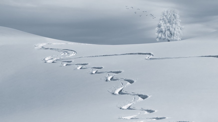
Forecasters say a winter-like air mass will sweep Midwest and Northeast regions of the United States Thursday night, causing measurable snowfall totals.
The National Weather Service (NWS) announced on Wednesday said that the climate would be 15 to 25 degrees below average on parts of Northern High Plains, while snowfall will move into portions of the Northern Mid-Atlantic and New England Thursday evening to Friday morning.
Parts of the Northeast will see the first measurable snow of the season Thursday into Friday. While most areas will be warm enough for precipitation to start as rain, colder air will be moving into the region late Thu & Thu night, casing the rain to mix with & change to snow. pic.twitter.com/xzBVofQtVW — NWS Eastern Region (@NWSEastern) November 6, 2019
Just in: At 1.8°F below avg, #October 2019 was the coolest October for the U.S. since 2009, per @NOAANCEIclimate https://t.co/ByWYQIa1aG #StateOfClimate pic.twitter.com/d5tUReQYZk — NOAA (@NOAA) November 6, 2019
The cold weather will affect two-third parts of the Eastern United States for the rest of this week through next week with below-average temperatures, posted NWS on the front page of its website.
NWS added the two strong cold fronts would reach through this massive area covering the next two days while producing heavy snow from the Great Lakes to northern New England. Heavy rain is also expected in Texas all through the Lower Mississippi Valley.
According to the agency, light snow will begin to fall on Wednesday night in the upper Midwest parts of the country and may produce slippery roads. Upper portions of the Mississippi Vallet to the Great Lakes region will likewise experience light snow. The weather would build hazardous road conditions.
Fox News' meteorologists announced that Michigan and Wisconsin might receive four inches of snow. Green Bay and Wisconsin already had snowfalls, with the
Snow already began to fall in Green Bay, Wisconsin, with the Packers sharing Lambeau Field covered in snow.
Blankets of snow cover #LambeauField the Wednesday before #CARvsGB More of the snowfall ️ https://t.co/fUl9IbW1W0 pic.twitter.com/vMqFAO4fbY — Lambeau Field (@LambeauField) November 6, 2019
Fox News meteorologist Janice Dean warned in a report that there would have significant cold air from Saturday through Tuesday. She added moderate snowfall is expected next week along the I-95 corridor. The anticipated air mass may bring colds to Minnesota that may break records set in November 1986, according to the Fox report.
Winter Weather Advisories...they don't grab the headlines like massive snow or ice storms, but they are often just as dangerous. And here's why: -Businesses and schools stay open -The roads "don't seem that bad" -The volume and speed of traffic remain high.#PurpleProblems pic.twitter.com/Qnrvm1NMBg — National Weather Service (@NWS) November 6, 2019
Forecasters noted that winter does not usually start until December 21. However, the Farmers' Almanac and Old Farmer's Almanac said that the upcoming 2019-2020 winter is forecast to be a snowy one.
The 2020 Old Farmer's Almanac wrote on its website that the upcoming winter would be remembered for the powerful storms that would bring a hoof beat of heavy rain, sleet, and piles of snow. The Almanac also called for regular snow events, including two in April for the Intermountain region west of the Rockies.
Farmers' Almanac Editor and Philom Peter Geiger announced in a press release dated Aug. 26 that their extended forecast calls for another freezing, frosty, and frigid winter for two-thirds of the country.
Forecasters described the 2019-2020 season as "polar coaster" with heavy snow across much of the country.
© 2025 NatureWorldNews.com All rights reserved. Do not reproduce without permission.


