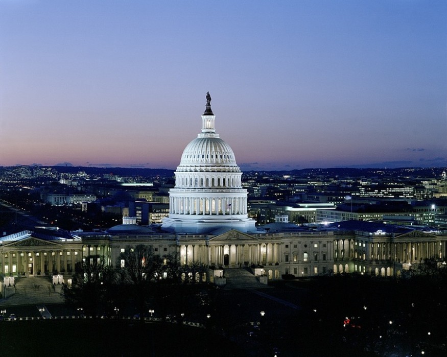
The state of Washington may experience a significant period of rainfall on Wednesday, Oct. 16. However, it can be the rainiest day since July and August.
Washington has racked up a rainfall deficit of about 6.5 inches since mid-July this year. It is the equivalent of missing two months' worth of precipitation.
The storm predicted to hit Washington on Wednesday would eventually morph into a "bomb cyclone" on the coast of New England due to its strengthening rate, according to Washington Post. Heavy rainfall and strong winds are expected to hit the cities on the East Coast, such as Boston, New York, and Providence, late Wednesday to early Thursday.
The National Weather Service is predicting a plausible 0.9 inches for the rainfall in Washington, but perhaps optimistic. It would be the most since August 07, where 0.9 inches of rain was also recorded. However, significant rain has yet to be observed.
There are two main plausible scenarios, each equally likely, according to a report by the Washington Post.
First, it could draw enough moisture off the Atlantic Ocean to release rain for several hours between late morning and late afternoon on Wednesday if the storm develops and quickly gains the strength.
Second, the rainfall may be quite limited with a total of less than half an inch if the storm waits to act together until it passes the north-northeast of the area. The rain would likewise occur in a short time as the cold front would arrive by Wednesday midday to midafternoon.
The rain's bulk is likely to be completed by the first pitch of the possible Game 5 between the National and Cardinals for the baseball fans if the rainfall would occur hours before the game time. However, lingering showers and rain may delay starting the game.
It could be recalled that the United States' drought monitor placed entire Washington in the moderate drought category. It was because of a rainfall deficit since mid-July, the equivalent of missing two months' worth of rain.
The drought was because of the hot summer, the seventh-hottest on record, which turned progressively drier. Although excessive rainfalls followed June and early July, it abruptly dried off after. According to NWS, there have been only 0.11 inches of rain in Washington last September 2019.
NWS, as reported by the Washington Post, explained that the short-term dryness and heat easily defeated the long-term wetness experienced in the area between April 2018 and early summer 2019.
The impact of the flash drought, however, affected the agriculture sector in the state as water supplies reduced Washington's water supplies such as groundwater and stock ponds, said Climate.gov. It has made the farmlands quite hard for harvesting agricultural products such as apples, wheat, and potatoes in Washington.
As rains didn't fall, temperatures soared. September was among the five hottest September on record for every state in the entire Southeast U.S., according to a news release from the National Oceanic and Atmospheric Administration. It has likewise affected the drought conditions in Washington.
© 2025 NatureWorldNews.com All rights reserved. Do not reproduce without permission.


