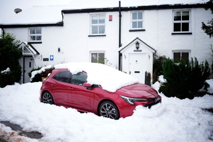
Some forecasters have claimed that a cold snap from Iceland could bring snow and freezing temperatures to the UK in the next few weeks.
But how likely is this scenario and what does the Met Office say?
The claim: A 'Beast from the East' is coming
 (Photo : Christopher Furlong/Getty Images)

According to some weather experts, such as Exacta Weather forecaster James Madden, the UK could face a repeat of the 'Beast from the East' that hit the country in 2018.
Madden said that a "massive area of high pressure" near Iceland could trigger a "bitterly cold" airflow from the north, bringing snow and ice to many parts of the UK. He added that this could happen as early as mid-December and last until January.
Madden is not the only one who has predicted a snowy winter for the UK.
Netweather forecaster Paul Michaelwaite also said there is a "higher than average chance" of snowfall in December, especially in northern and eastern areas.
He said that the current weather pattern is similar to the one that preceded the Beast from the East three years ago.
The verdict: The Met Office is more cautious
However, the Met Office, the official national weather service, has a different view on the likelihood of a severe cold spell.
The Met Office said that while there is a chance of colder-than-average periods in December, it is too early to say if this will result in widespread snow or ice.
It also said that the current weather situation is not comparable to the one in 2018 when a sudden stratospheric warming event disrupted the polar vortex and allowed cold air to spill over Europe.
The Met Office's long-range forecast for December 17 to December 31 states that "confidence is shallow during this period" and that "a range of weather scenarios are possible".
The forecast suggested that there will be "a mix of colder and milder interludes" with "some rain or showers at times" and "some drier and brighter spells".
The forecast also indicated that "any snowfall will most likely be confined to higher ground in the north" and that "temperatures will likely be around or slightly below average for this time of year".
Therefore, while some forecasters have claimed that a -13°C Icelandic snow blast is heading to the UK, the Met Office has not confirmed this and has advised caution in interpreting long-range predictions.
The Met Office has also reminded the public that they provide regular updates on their website and social media channels and that they are the only official source of weather warnings for the UK.
Also Read: UK Weather: Heavy Rain Triggers More Than 150 Flood Alerts
The update: A three-day snow blast is forecast
According to the Mirror, the UK is set to face a three-day snow blast as Arctic air sweeps across the country.
Maps from WXCharts show sporadic snowfall in Scotland and northern England on Monday, then more for Scotland on Tuesday.
Parts of North West Wales, the North West of England, part of the North East, and Scotland might be hit on Wednesday, according to the maps.
The report also quoted Met Office meteorologist Alex Deakin, who said that the cold air will bring "a big change" in the weather, with "frosty nights and wintry showers" in some areas.
He said that the showers would be "heavy and thundery" and would contain "hail, sleet, and snow" at times. He added that the snow will mainly affect the hills and mountains, but could also fall to lower levels in some places.
The news agency warned that the snow and ice could cause travel disruption and urged people to check the latest weather forecasts before heading out.
The cold spell could reportedly last until the end of the week, with temperatures struggling to reach double figures.
However, it is also noted that the Met Office has not issued any weather warnings for snow or ice yet and that the situation could change.
Related article: UK Weather Update: Met Office Warns of Dangerous Snow, Ice Conditions; Flood Warnings Reported
© 2024 NatureWorldNews.com All rights reserved. Do not reproduce without permission.


