Southwestern US can expect above-average temperatures this week, according to a National Weather Service (NWS) report. Southern California can anticipate rain showers in midweek.
California is no stranger to changing weather conditions, from heavy rains, flooding, drought, and winter storms. For commuters, staying updated with forecasts is important, particularly with a chance of rain in Southern California.
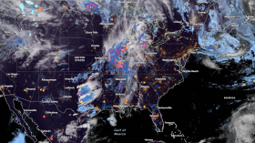
In the Great Lakes, Southern Plains, and Midwest, the NWS report shows that scattered isolated rain will be likely, with potential showers and thunderstorms. The forecast monitors the development of two low-pressure systems, which could impact the Mid-Atlantic and Northeast on Wednesday.
Western US Weather Forecast

The NWS Short Range Forecast Discussion reveals that above-than-average temperatures will be likely in the Western and Central US. The weather outlook is favorable for outdoor activities and commutes, but homeowners should still keep updated with forecasts to avoid potential weather dangers.
Scattered showers will be likely in the Northern Plains, Central Plains, and Upper Midwest. Meanwhile, parts of California can expect some rain showers.
Additionally, the forecast monitors an amplifying pattern in the eastern Pacific and western CONUS. A strong southerly flow will be likely in the West and Southwest, with above temperatures likely in the High Plains. There is also an upper trough in the Great Lakes on Wednesday.
In Los Angeles, the report shows that a cool weather outlook will be likely this week. Recently, the region experienced patchy dense fog in the Santa Ynez River, Buellton, and Lompoc.
For the Bay Area, residents can anticipate cooler and cloudier patterns this week. Homeowners can expect overnight and morning drizzle. The report reveals that a regionwide cooldown can occur on Tuesday. Temperatures are likely to reach the upper 50s and 60s.
In Salt Lake City, the forecast shows that a dry cold front will be likely in northern Utah and southwest Wyoming. In the central and southern portions of Utah, residents can expect mild temperatures.
Reno residents can anticipate warm temperatures this early week. There is a chance of showers and thunderstorms coming this week. Recently, the region experienced warmer temperatures climbing to the upper 60s to 70s.
Weather in the Northeast This Week: Where Will Damaging Frosts Hit?
Additionally, the forecast shows that potentially damaging frost conditions can affect portions of the Northeast and Upper Midwest this week. The frost conditions can potentially damage plants and vegetation.
In this week's weather, the widespread cold is expected in Fargo, Sioux Falls, Omaha, Kansas City, St. Louis, Indianapolis, Chicago, Detroit, Buffalo, Chicago, Pittsburgh, Buffalo, Charleston, and Montreal.
In New York, homeowners should keep alert for colder temperatures, particularly overnight. A Frost Advisory is present in the interior and eastern Long Island, and a Freeze Warning is in Orange County.
On early Thursday, the frost potential can occur in the following areas:
- Chicago
- Green Bay
- Detroit
- Pittsburgh
- Charleston
- Washington
- New York
- Boston
- Portland
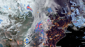
Related article: Florida Peninsula Weather Forecast: Severe Thunderstorms to Bring Few Tornadoes, Hail, Strong Wind Gusts
For more similar stories, don't forget to follow Nature World News
© 2024 NatureWorldNews.com All rights reserved. Do not reproduce without permission.