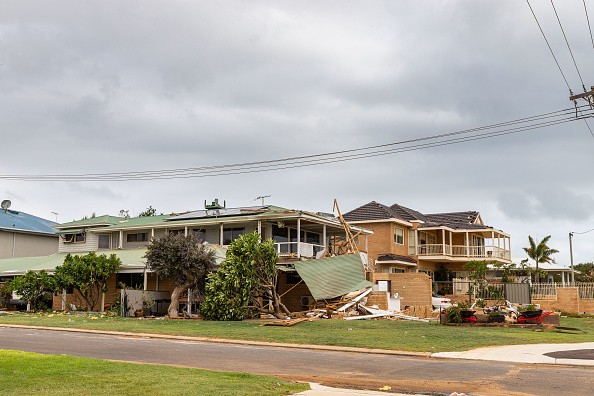
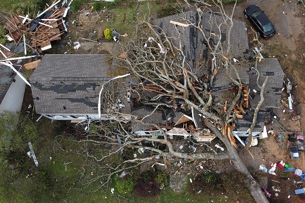
On Tuesday afternoon and night, severe weather rocked the northern Plains with dozens of intense wind and massive reports of hail coming in.
Cities at Risk
AccuWeather meteorologists warn that there is a possibility of the coming round of severe weather being much worse than the outbreak of Tuesday for some communities over parts of the region as a powerful storm system swings through into Thursday night.
Some of the cities that could witness storms on Thursday night include Miles City and Glasgow, Montana; Minot, and Bismarck, North Dakota; Rapid City, Pierre and Sioux Falls, South Dakota; and Scottsbluff, North Platte and Omaha, Nebraska.
The new storm system will hit a dome of heat that has delivered numerous days of 90-degree-Fahrenheit temperatures over a broad region of the North Central states. AccuWeather forecasters say the constancy of the 90-degree weather is uncommon for this early in the season and some places like the Twin Cities may take a run at records.
Upcoming Round of Severe Weather
Thursday's storm event emerges from Tuesday's event "as there will be an even more powerful dip in the jet stream that moves across the region from the Pacific Northwest," AccuWeather Meteorologist, Matt Benz said.
Benz explained that the atmosphere will be primed by too much moisture and heating of the day for thunderstorms to blow up into Thursday night. Even though most of the thunderstorms are anticipated to take place in the wide open spaces in the area, there will be dangers to crops, livestock, ranchers, small communities and even several larger cities.
Not only will the upcoming round of severe weather affect much of the same zone as Tuesday's storms, but the risk also spread farther to the east where there is quite more density in population in the eastern parts of the Dakotas and eastern Nebraska. The risk region also includes portions of northern Kansas and the western borders of Minnesota and Iowa.
Effects of Thunderstorms
Tuesday's storms concentrated on a region from eastern Wyoming to the western part of the Dakotas and the northeastern counties of Montana with some dozen severe weather reports that comprised various incidents of intense winds and hail.
Gusts topping 90 mph were reported and hail in several communities surpassed the size of golf balls - with diameters of hailstones getting to about 4 inches. Not too many thunderstorms erupted over parts of the northern Plains into Wednesday evening, taking wind gusts of up to 60 mph in some regions, but contrarily paling in comparison to storms from Tuesday and mostly those on Thursday.
Even though most of the thunderstorms are anticipated to take place in the wide open spaces in the area, there will be dangers to crops, ranchers, livestock, small communities, and even some larger cities.
For more news, updates about storms and similar topics don't forget to follow Nature World News!
© 2026 NatureWorldNews.com All rights reserved. Do not reproduce without permission.


